What is recorded here
St Paul's Well in the parish of Tallaght is located E of Killinarden in a field that was under rape seed at the time of inspection. This is a natural spring well dedicated to St Paul and called Tober Phoil (Ó Danachair 1958, 86; Hegarty 1939, 70; Herity 2001, 38). The spring has been piped leaving no visible trace above ground.
From the National Monuments Service (Archaeological Survey of Ireland) record DU021-055
This remains an important historical record, but the official description says the monument is no longer visible or has been destroyed. The monument record does not grant public access. Check the route and ask the landowner before entering private land.
- What survives
- No visible remains or recorded as destroyed
Places near here
Photo credits
- National Inventory of Architectural Heritage
- 瑞丽江的河水, Wikimedia Commons · CC BY-SA 4.0
Mound in KillinardanMound · 276 yd Kiltalown HouseCountry house · 882 ydMarlfield HouseFarm house · 994 ydGraveyard in BallymanaGraveyard · 1000 ydCastleCastle, unclassified · 1.0 miSean Walsh ParkVisitor information · 1.1 miSpringfieldNamed rock · 1.1 mitallaght crossVisitor information · 1.3 miWaterfall viewing pointHeritage attraction · 1.6 miKnackannaveaMountain / peak · 1.7 miFont in TallaghtFont · 1.7 miBawn in CheeverstownBawn · 1.8 mi
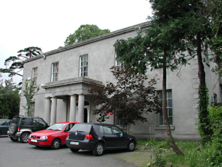 Kiltalown HouseCountry house · 882 yd
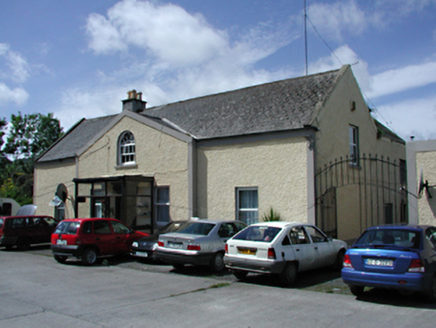 Marlfield HouseFarm house · 994 ydGraveyard in BallymanaGraveyard · 1000 ydCastleCastle, unclassified · 1.0 miSean Walsh ParkVisitor information · 1.1 miSpringfieldNamed rock · 1.1 mitallaght crossVisitor information · 1.3 miWaterfall viewing pointHeritage attraction · 1.6 miKnackannaveaMountain / peak · 1.7 mi
 Font in TallaghtFont · 1.7 miBawn in CheeverstownBawn · 1.8 mi
More archaeology and monuments in County Dublin · All of County Dublin
What do you know about this place?