
What is recorded here
In fairly level pasture, with a gentle rise in ground to SW−W. There are good views to E.
A possible circular enclosure (diam. c. 20m) is shown on the 1838 OS 6-inch map. No visible trace at ground level. A field drain on a NW−SE axis now crosses the location of the enclosure.
Compiled by: Jane O’Shaughnessy
Date of upload: 31st May 2023
This remains an important historical record, but the official description says the monument is no longer visible or has been destroyed. The monument record does not grant public access. Check the route and ask the landowner before entering private land.
- What survives
- No visible remains or recorded as destroyed
Places near here
 Enclosure in CoolconEnclosure · 810 yd
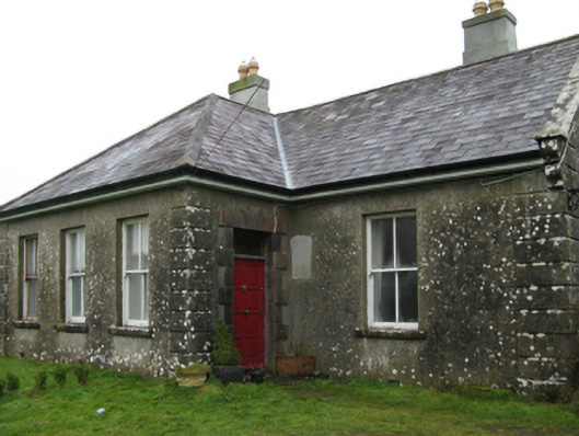 Ballyglass Housefarm house · 1023 yd
 Castle (in ruins)Castle, unclassified · 1178 yd
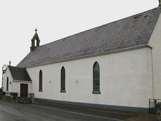 Saint Patrick's Catholic Churchchurch/chapel · 1372 yd
 Enclosure in Lecarrow (kilmaine By., Kilcommon Par.)Enclosure · 1.8 mi
 Castle in ruinsCastle, unclassified · 1.8 mi
 Geoffrey's WoodForest · 3.5 mi
 Oak WoodForest · 3.9 mi
 Mass RockNamed rock · 8.1 mi
 The Heathfarm house · 1.2 mi
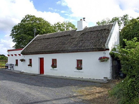 Beech Tree Cottagehouse · 1.5 mi
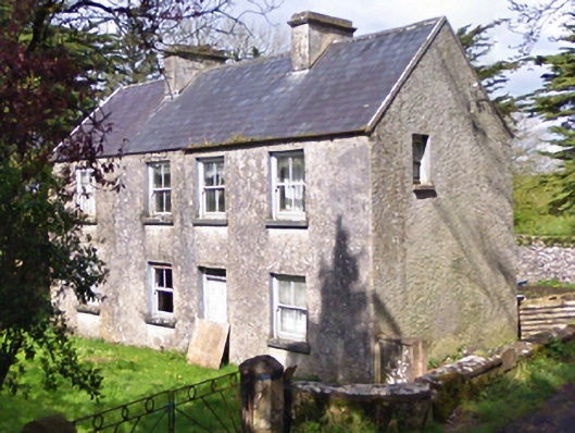 farm housefarm house · 1.8 mi
Other information
Photo: Credit not shown in the picture search · Rights wording not checked; contact us if this picture should be removed