What is recorded here
In pasture, on S-facing slope. Depicted as large subcircular enclosure (c. 455m NW-SE; c. 490m SSW-NNE) on 1842, 1905 and 1937 OS 6-inch maps, defined by field fences WNW->SSW, with some apparent alteration of line to NE; bisected by road NNE-SSW. Enclosing elements of site to SE and S defined by earthen bank (ext. H 1.4m; int. H 0.3m), to W by wide flat-topped earthen bank (H 1.45m) with outer face truncated by steep-sided drain and to N by earthen bank (int. H 0.8m) skirted by external drain. Two areas within enclosure were archaeologically investigated in advance of development (O'Shaughnessy, 1992b, 7; O'Shaughnessy 1993, 11), both adjacent to road, one near S boundary, one towards centre of enclosure on E side of road; no traces of occupation were found. Possible site of church (14501) S of centre of enclosure; ringfort and possible ringfort (12611,13074) in SW quadrant; holy well (14005) c. 30m outside enclosure to SSE. Bowman (1934, 42) derived townland name from 'Cill an Bhealaigh - Church of the Road (or Pass)'.
In pasture, on S-facing slope. Depicted as large subcircular enclosure (c. 455m NW-SE; c. 490m SSW-NNE) on 1842, 1905 and 1937 OS 6-inch maps, defined by field fences WNW->SSW, with some apparent alteration of line to NE; bisected by road NNE-SSW. Enclosing elements of site to SE and S defined by earthen bank (ext. H 1.4m; int. H 0.3m), to W by wide flat-topped earthen bank (H 1.45m) with outer face truncated by…
From the National Monuments Service (Archaeological Survey of Ireland) record CO023-146001
The monument record does not grant public access. Check the route and ask the landowner before entering private land.
- What survives
- Recorded monument
Places near here
Photo credits
- National Inventory of Architectural Heritage
- Sitomon, Wikimedia Commons · CC BY-SA 2.0
- Mike Searle, Geograph · CC BY-SA 2.0
- The Speckled Bird, Wikimedia Commons · CC BY-SA 4.0
- Jonathan Thacker, Geograph · CC BY-SA 2.0
- kevin higgins, Wikimedia Commons · CC BY-SA 2.0
- Maker shown on the Wikimedia Commons file page · CC BY-SA 3.0
ListeigeFairy fort / earthen ringfort · 827 yd Glenlohane HouseHouse · 1422 ydEuropean Yew1610 ydEuropean Yew1621 ydAssolas HouseCountry house · 1660 ydCastle Magner (in Ruins)Bawn · 1.8 miCastle Magner (in Ruins)Castle, tower house · 1.8 miKanturk CastleHeritage attraction · 2.0 miMount Hillary - Father Murphy LoopWalking route · 3.4 miMount HillaryMountain / peak · 3.9 miSt Abigails WellHoly well · 5.7 miBattle of KnocknaclashyBattle · 5.8 mi
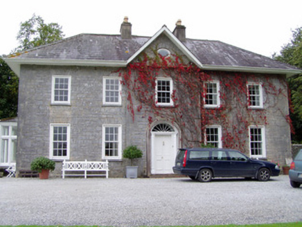 Glenlohane HouseHouse · 1422 yd
 European Yew1610 ydEuropean Yew1621 yd
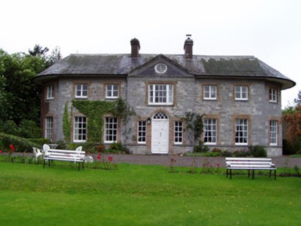 Assolas HouseCountry house · 1660 yd
 Castle Magner (in Ruins)Bawn · 1.8 mi
 Castle Magner (in Ruins)Castle, tower house · 1.8 mi
 Kanturk CastleHeritage attraction · 2.0 mi
 Mount Hillary - Father Murphy LoopWalking route · 3.4 mi
 Mount HillaryMountain / peak · 3.9 mi
 St Abigails WellHoly well · 5.7 mi
 Battle of KnocknaclashyBattle · 5.8 mi
More archaeology and monuments in County Cork · All of County Cork
What do you know about this place?