What is recorded here
Marked faintly as a circular enclosure (diam. c. 45m) overlain by field boundaries on the 1839 ed. of the OS 6-inch map, and located on a gentle S-facing slope just off the top of a W-E ridge. Nothing is visible at ground level in a cereal crop.
From the National Monuments Service (Archaeological Survey of Ireland) record WX019-010
Places near here
Photo credits
- National Inventory of Architectural Heritage
- kevin higgins, Geograph · CC BY-SA 2.0
- Algirdas at Lithuanian Wikipedia, Wikimedia Commons · Public domain
- Garry Dickinson, Geograph · CC BY-SA 2.0
- No machine-readable author provided. Voyager assumed (based on copyright claims)., Wikimedia Commons · CC BY-SA 3.0
- David Purchase, Geograph · Creative Commons Attribution-ShareAlike 2.0
- Sciadopitys from UK, Wikimedia Commons · CC BY-SA 2.0
- Mike Searle, Wikimedia Commons · CC BY-SA 2.0
- A.-K. D., Wikimedia Commons · CC BY-SA 4.0
- Humphrey Bolton, Geograph · Creative Commons Attribution-ShareAlike 2.0
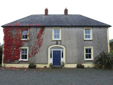 farm house864 yd
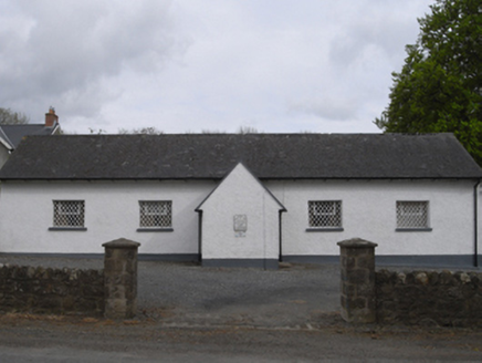 school1601 yd
 SlievebaunMountain / peak · 3.3 mi
 Pedunculate Oak4.6 mi
 KnockroeMountain / peak · 5.5 mi
Explorer Tom Knockroe has a summit cairn looking toward Mount Leinster; it’s a perfect spot to pause and take in the Blackstairs scenery!
 Wilton HouseCastle, unclassified · 6.5 mi
 Mount LeinsterMountain · 6.7 mi
Explorer Tom Mount Leinster stands proud in the Blackstairs Mountains; check local access before you go climbing, because it's a beauty!
 Clonmore Grave YardGraveyard · 8.1 mi
 European Larch8.3 mi
_(geograph_5442502).jpg/250px-Castles_of_Leinster-_Adamstown,_Wexford_(1)_(geograph_5442502).jpg "Photo: Mike Searle, Wikimedia Commons · CC BY-SA 2.0") Castle (in ruins)Castle, tower house · 8.6 mi
Castle (in ruins)Castle, tower house · 8.6 mi St. Mullins WellHoly well · 8.9 mi
Explorer Tom Though dry now, St. Mullins Well once held a small circular chamber where water flowed through holed slabs.
 Graveyard in St. Mullin'sGraveyard · 9.0 mi
Explorer Tom High above the River Barrow, St. Mullin's graveyard holds remains of a round tower and high cross alongside other ecclesiastical buildings within its bounds.
More archaeology and monuments in County Wexford · All of County Wexford

What do you know about this place?Tap to add a comment or ask a question