What is recorded here
On a hillock. Marked on 1st ed. of OS 6-inch map as a kidney-shaped enclosure but on 3rd ed. (1931) as a circular enclosure (D c. 30m). What survives is a grassed-over stony area (E-W c. 30m, N-S c. 25m) defined on E, S and W sides by steep inclines. Traces of a possible fosse were noted from SE to SW in 1963 (OPW Topgr. Files) but it appears to have been subsequently backfilled. A CBG (GA071-041001-) occupies E half of the monument. II - North Galway'.
From the National Monuments Service (Archaeological Survey of Ireland) record GA071-041
Places near here
Photo credits
- Mike Searle, Wikimedia Commons · CC BY-SA 2.0
- National Inventory of Architectural Heritage
- Willie Duffin, Geograph · CC BY-SA 2.0
- Christian Pirkl, Wikimedia Commons · CC BY-SA 3.0 at
- Julie Anne Workman, Wikimedia Commons · CC BY-SA 3.0
- liam murphy, Geograph · CC BY-SA 2.0
- Mike Searle, Geograph · CC BY-SA 2.0
- Graham Horn, Geograph · Creative Commons Attribution-ShareAlike 2.0
- ClintMalpaso, Wikimedia Commons · CC BY-SA 3.0
- DeeEmm, Geograph · CC BY-SA 2.0
_-_geograph.org.uk_-_4069015.jpg/250px-Castles_of_Connacht,_Cashlaundarragh,_Galway_(1)_-_geograph.org.uk_-_4069015.jpg "Photo: Mike Searle, Wikimedia Commons · CC BY-SA 2.0") CashlaundarraghCastle · 1240 yd
CashlaundarraghCastle · 1240 yd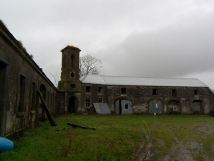 RyehillOutbuilding · 1372 yd
 Monivea ChurchChurch/chapel · 1.4 mi
 Monivea Garda Síochána StationRectory/glebe/vicarage/curate's house · 1.4 mi
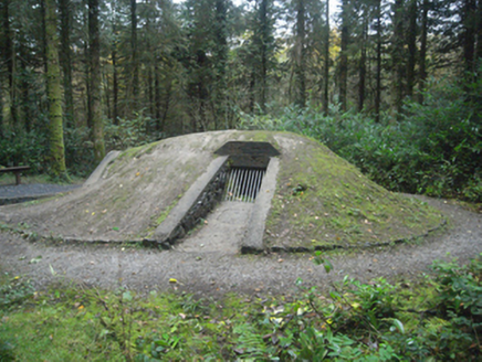 Monivea CastleIcehouse · 1.4 mi
 Sycamore3.1 mi
 Common Whitebeam3.2 mi
 Knockmoy AbbeyHeritage attraction · 3.6 mi
 Belleville CastleCastle · 3.9 mi
 Grave YardGraveyard · 7.2 mi
 St. Marys CathedralCathedral · 10 mi
 Silver StrandBeach / strand · 20 mi
More archaeology and monuments in County Galway · All of County Galway

What do you know about this place?Tap to add a comment or ask a question