
What is recorded here
From the National Monuments Service (Archaeological Survey of Ireland) record WX020-004004
Places near here
Photo credits
- Maker not stated on source page, en.wikipedia.org
- National Inventory of Architectural Heritage
- Maker not stated on source page, commons.wikimedia.org
- Maker not stated on source page, uk.pinterest.com
- Maker not stated on source page, www.pinterest.com
 Church (Site of)Church · 60 yd
Explorer Tom Church in Killabeg would be the guy at the wedding who stands too close to the cake. The walls are grass-covered now…
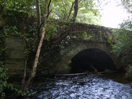 Crane BridgeBridge · 908 yd
Explorer Tom Crane Bridge in Crane is sick of being asked if it can lift things, because it’s a bridge, not a crane! It’s got that…
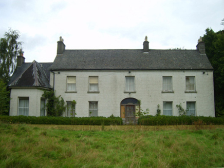 Killabeg HouseFarm house · 1127 yd
Explorer Tom Killabeg House would order a triple-chip, mash and gravy special if it could walk into any chipper in town. Its…
 Solsborough BridgeBridge · 1275 yd
Explorer Tom Solsborough Bridge in Killabeg is crossing the gap like it owns the place, even though nobody asked for its opinion on…
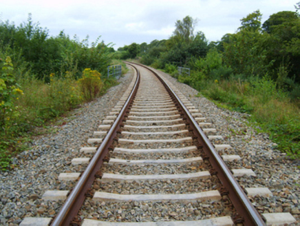 bridge1289 yd
Explorer Tom Bridge in Killabeg is where map makers got drunk and drew the river wrong. The arch looks like a smile because it’s…
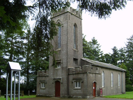 Saint Paul's Church (Clone)Church/chapel · 1297 yd
Explorer Tom Saint Paul's Church (Clone) is incredibly proud of having been built with money from the Board of First Fruits, which…
 graveyard/cemetery1332 yd
Explorer Tom Graveyard or cemetery in Solsborough has a secret talent for arranging headstones in perfect alphabetical order by…
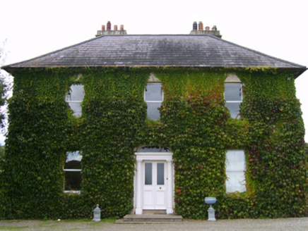 RiversdaleFarm house · 1621 yd
Explorer Tom Riversdale in Killabeg had a fox take charge once, and I bet he wore a little top hat while doing it. The house looks…
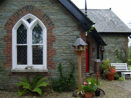 Solsborough HouseGate lodge · 1631 yd
Explorer Tom Solsborough House gate lodge is all that’s left after the main mansion burned down and got demolished, which is quite…
 Standing stone in SolsboroughStanding stone · 1638 yd
Explorer Tom Standing stone in Solsborough would last three seconds on a reality show before someone spilled tea on it, but its…
 Flat cemetery in ScarawalshFlat cemetery · 1.1 mi
Explorer Tom Flat cemetery in Scarawalsh has an imaginary twin across the sea who probably looks nothing like it. Vandalism hit it…
 CastleCastle, unclassified · 1.2 mi
Explorer Tom Castle in Toom caused such a massive argument among the local farmers about which side of the stream it actually…
More archaeology and monuments in County Wexford · All of County Wexford

What do you know about this place?Tap to add a comment or ask a question