What is recorded here
On a very slight N-facing pasture slope. A circular area (diam. 33m) is defined by a vegetation band SW-W-N, probably marking the line of an infilled fosse.
Compiled by: Gearóid Conroy
Date of upload: 16 October 2012
The monument record does not grant public access. Check the route and ask the landowner before entering private land.
- What survives
- Recorded monument
Places near here
 Enclosure in KildoonEnclosure · 681 yd
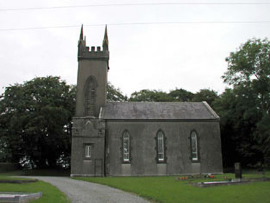 Nurney Churchchurch/chapel · 1369 yd
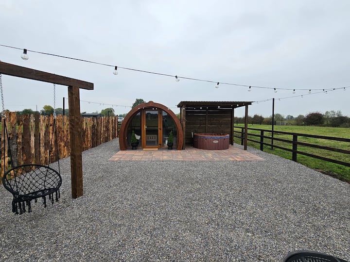 Enclosure in BlackditchEnclosure · 1389 yd
 Site of CastleCastle, unclassified · 1.3 mi
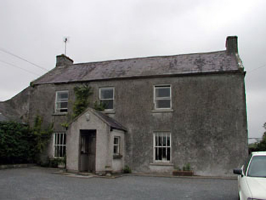 Gorteen Housefarm house · 1.3 mi
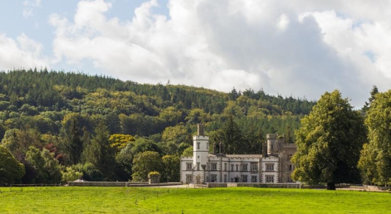 CastleCastle, unclassified · 1.4 mi
 Battle of Kilrushbattle · 3.0 mi
 Brookfield WoodWood · 3.1 mi
 Sitka SpruceSitka Spruce · 3.4 mi
 Japanese GardensHeritage attraction · 3.6 mi
 Irish National Stud and Japanese GardensHeritage attraction · 3.6 mi
 History of Moat of ArdscullVisitor information · 4.8 mi
Other information
Photo: Credit not shown in the picture search · Rights wording not checked; contact us if this picture should be removed