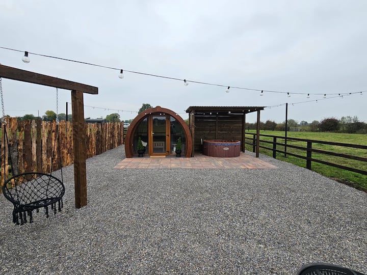
What is recorded here
Shown on the 1st ed. (1838) of the OS 6-inch map as an apparently raised, circular area (est. diam. c. 40m), possibly a ringfort. In an area of gently undulating improved pasture. No visible surface trace.
Compiled by: Gearóid Conroy
Date of upload: 31 August 2012
The monument record does not grant public access. Check the route and ask the landowner before entering private land.
- What survives
- Recorded monument
Places near here
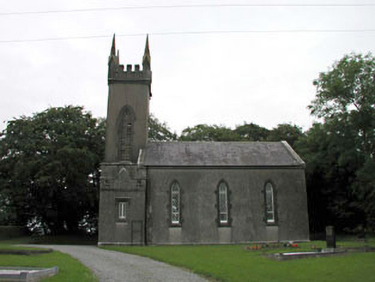 Nurney Churchchurch/chapel · 435 yd
 Enclosure in KildoonEnclosure · 1377 yd
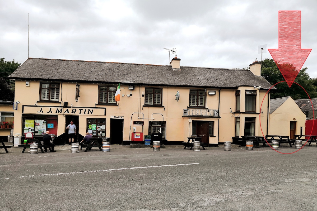 IndicatedEnclosure · 1389 yd
 Site of CastleCastle, unclassified · 1422 yd
 Pigeon House RuinRuins · 1554 yd
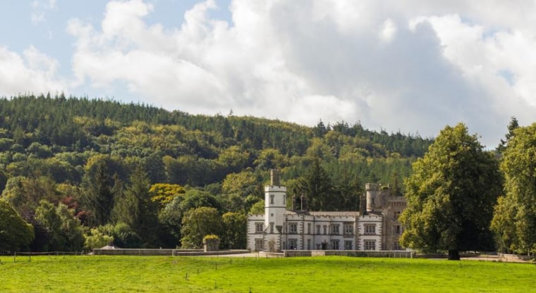 CastleCastle, unclassified · 1579 yd
 Brookfield WoodWood · 2.4 mi
 Sitka SpruceSitka Spruce · 2.9 mi
 Japanese GardensHeritage attraction · 3.1 mi
 Irish National Stud and Japanese GardensHeritage attraction · 3.2 mi
 Battle of Kilrushbattle · 3.8 mi
 O'Brienhouse · 1628 yd
Other information
Photo: Credit not shown in the picture search · Rights wording not checked; contact us if this picture should be removed