
What is recorded here
Nurney Castle vanished so completely that Walter Fitzgerald later built his house directly upon its remains, forcing the Baggots and everyone else to forget the exact shape of the place. The ridge still holds a vaulted basement full of red brick beside a small west-flowing stream, while another set of castle ruins waits one hundred and eighty metres to the west. What is missing is not a gap in the story but the shape of the story: a castle absorbed into a house, a house absorbed into a field, a field absorbed into a map label that points at nothing visible.
On the E-face of a low pasture ridge, skirted E-N-NW by a small W-flowing stream. The ruins of a second castle (KD027-026----) lie c. 180m to the WNW. Recorded on the latest ed. (1939) of the OS 6-inch map as ‘Nurney Castle on site of Castle’. In 1837, according to O’Conor’s Ordnance Survey Letter (Herity 2002, 146 (157)), ‘And to Walter Fitzgerald’s house is attached part of an old Castle, of which, the Baggots, are said to have been the original proprietors’. Nurney House appears to have been an 18th-century structure (OPW Topographical files), of which only the vaulted basement, containing a lot of red brick, survives. There is no visible surface trace of the earlier castle.
Compiled by: Gearóid Conroy
Date of upload: 10 october 2012
The monument record does not grant public access. Check the route and ask the landowner before entering private land.
- What survives
- Recorded monument
Places near here
 Pigeon House RuinRuins · 176 yd
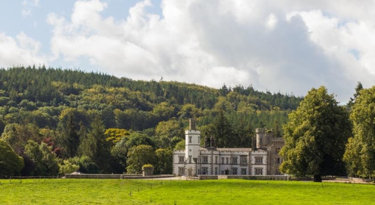 CastleCastle, unclassified · 197 yd
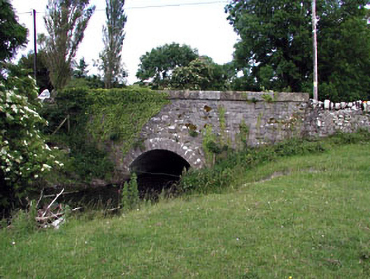 Nurney Bridgebridge · 237 yd
 Church (Site of)Church · 256 yd
 Site of NunneryReligious house, unclassified · 318 yd
 Brookfield WoodWood · 1.8 mi
 Derryvullagh IslandForest · 3.4 mi
 Japanese GardensHeritage attraction · 3.7 mi
 Irish National Stud and Japanese GardensHeritage attraction · 3.8 mi
 Tully Ho.Castle, unclassified · 3.8 mi
 Battle of Kilrushbattle · 4.2 mi
 History of Moat of ArdscullVisitor information · 5.1 mi
Other information
Photo: Credit not shown in the picture search · Rights wording not checked; contact us if this picture should be removed