What is recorded here
From the National Monuments Service (Archaeological Survey of Ireland) record KD027-035
Places near here
Photo credits
- National Inventory of Architectural Heritage
- Jimmy Fullam, credited by Kildare Nationalist, www.kildare-nationalist.ie
- Maker not stated on source page, www.pinterest.com
- Maker not stated on source page, hu.pinterest.com
- Maker not stated on source page, commons.wikimedia.org
- Wsiegmund, Wikimedia Commons · CC BY 2.5
- Maker named on the Wikimedia Commons picture page · CC BY-SA 3.0
- Maker not stated on source page, eattasty.pt
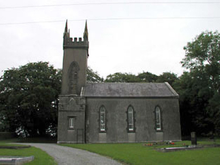 Nurney ChurchChurch/chapel · 1560 yd
Explorer Tom Nurney Church has a bird that refuses to leave the tower because it likes the view too much. The landlord donated land…
 Nurney GAA pitchGAA ground · 1.3 mi
 handball alley1.6 mi
Explorer Tom Handball alley in Nurney goes *thwack* all night long, waking up the ghosts of nation-building. It’s one of the last…
 Nurney BridgeBridge · 1.6 mi
Explorer Tom Nurney Bridge has strong feelings about modern cars and probably hates the drainage scheme that made it famous. It…
 Graveyard in Walterstown (nurney Ed)Graveyard · 1.6 mi
Explorer Tom Walterstown’s graveyard had its field bank bulldozed, which is basically a fairy dispute over parking rights on…
 Mapped cemeteryCemetery · 1.9 mi
Explorer Tom This Mapped Cemetery’s least favourite visitor is a man who keeps taking selfies with his back to the graves. He…
 Fairy fort / earthen ringfort in DerrynineFairy fort / earthen ringfort · 2.4 mi
Explorer Tom Fairy fort / earthen ringfort in Derrynine has a prophecy that it will float away, but the river hasn’t helped yet.…
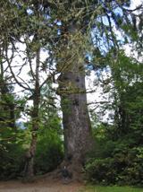 Sitka Spruce3.1 mi
Explorer Tom A Sitka Spruce in Kildare, which is like a penguin turning up at a barbecue. A cow once tried to buy it for fence…
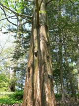 Dawn Redwood3.2 mi
Explorer Tom Dawn Redwood in County Kildare claims it's taller than the Leaning Tower of Pisa, which is laughable. It just needs a…
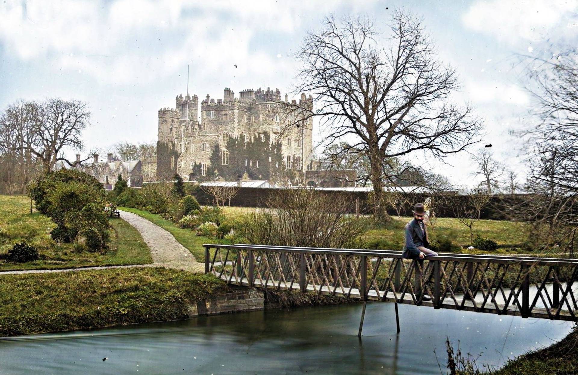 CastleCastle, unclassified · 3.3 mi
Explorer Tom Castle in Greyabbey is in a bitter feud with the rain, claiming it’s the one keeping the castle alive. It was ruinous…
 Church on Site of St. James ChurchChurch · 3.5 mi
Explorer Tom Church on Site of St. James Church in Ballyshannon Demesne claims a giant once lived here, probably because he needed…
 Ballyshannon Castle (Site of)Castle, unclassified · 3.6 mi
Explorer Tom Ballyshannon Castle was under attack in 1650, so it knows exactly how to handle pressure. The sound it makes at night…
More archaeology and monuments in County Kildare · All of County Kildare

What do you know about this place?Tap to add a comment or ask a question