What is recorded here
In pasture on level ground with good views in all directions. No surface remains visible. No antiquity depicted at this location on the 1840 OS 6-inch map. The feature is depicted as an irregular-shaped tree-plantation outlined with a broken line on the 1897 OS 25-inch map. Non antiquity, remains of an enclosing feature of a post-1700 woodland plantation.
Compiled by: Martin Fitzpatrick
Date upload: 25 June 2020
The monument record does not grant public access. Check the route and ask the landowner before entering private land.
- What survives
- Recorded monument
Places near here
 Dotted outlineFairy fort / earthen ringfort · 583 yd
 Enclosure in Faha DemesneEnclosure · 1114 yd
 Cragbeg Housecountry house · 1558 yd
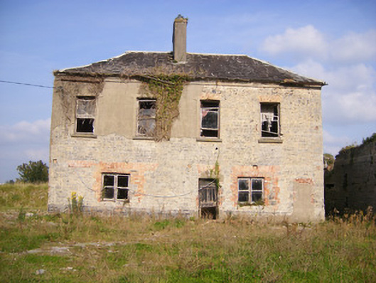 Faha Housecountry house · 1577 yd
 Site of CastleCastle, unclassified · 1.2 mi
 CastleCastle, unclassified · 1.3 mi
 Sailors HaggardMemorial · 4.0 mi
 Grass IslandIslet · 5.4 mi
 Maiden RockNamed rock · 5.6 mi
 Mellon PointHeadland · 6.0 mi
 Flat cemetery in Kiltenan SouthFlat cemetery · 6.6 mi
 Kinnoor WellSpring · 6.8 mi