What is recorded here
There is no way forward because the facts refuse to fit. The claim is that an invisible woman built a visible chamber, yet no human chamber exists anywhere. I will not invent a woman, a room or a vow to force the story into shape.
In elevated rocky pasture on slight NE-facing slope, 118m E of the townland boundary with Briska Beg. No surface remains visible of monument which according to landowner was levelled around the year 2000 (SMR File). The 1897 OS 25-inch map depicts the monument as a sub-circular shaped area (approx. int. dims. 39m N-S X 37m E-W; max. ext. diam. 55m N-S) enclosed by a bank (Wth 8m). Outline of levelled monument visible on Google Earth orthoimage taken 02/07/2018.
See attached Google Earth orthoimages taken 02/07/2018 and 19/11/2019
Compiled by: Fiona Rooney
Date of upload: 18 June 2020
The monument record does not grant public access. Check the route and ask the landowner before entering private land.
- What survives
- Recorded monument
Places near here
 BarrowBarrow, unclassified · 641 yd
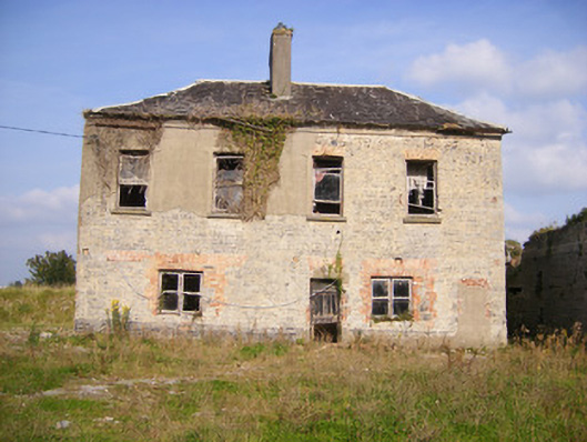 Faha Housecountry house · 921 yd
 Cragbeg Housecountry house · 1027 yd
 Enclosure in Faha DemesneEnclosure · 1227 yd
 Site of CastleCastle, unclassified · 1.4 mi
 Meelick Ho.House, fortified house · 1.5 mi
 Sailors HaggardMemorial · 3.6 mi
 Grass IslandIslet · 5.3 mi
 Maiden RockNamed rock · 5.5 mi
 Mellon PointHeadland · 6.0 mi
 King's IslandIsland · 6.1 mi
 Bunratty Castlehouse · 6.8 mi