
What is recorded here
In level pasture, on the demesne lands of Faha House located 220m to NW. Not depicted on the 1840 OS 6-inch map or the 1897 25-inch map. Earthwork depicted as a small mound enclosed by a on the 1923 OS 6-inch map. No surface remains visible today. Faint cropmark of levelled earthwork visible on Google Earth orthoimage taken 19/11/2019 and Digital Globe orthophoto 2011-13. Representation of earthwork on revsied OS 6-inch map suggests possible barrow monument, however its location on demesne lands may suggest the remains of a designed landscape feature.
See attached Google Earth orthoimages
Compiled by: Martin Fitzpatrick
Date upload: 22 June 2020
The monument record does not grant public access. Check the route and ask the landowner before entering private land.
- What survives
- Recorded monument
Places near here
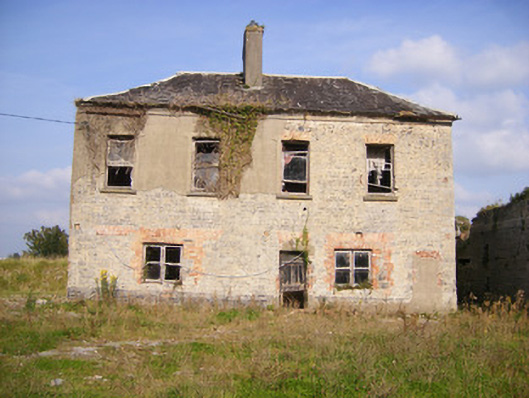 Faha Housecountry house · 315 yd
 Enclosure in Faha DemesneEnclosure · 703 yd
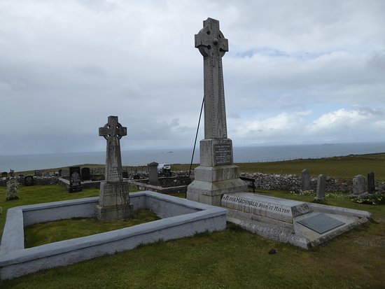 Kilcoran Grave Yd.Burial ground · 843 yd
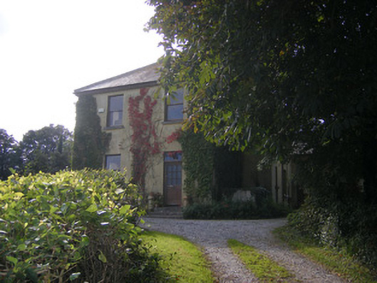 Beech Hillhouse, surgery/clinic · 882 yd
 Site of CastleCastle, unclassified · 1.7 mi
 CastleCastle, unclassified · 1.9 mi
 Sailors HaggardMemorial · 3.9 mi
 Grass IslandIslet · 5.6 mi
 Maiden RockNamed rock · 5.9 mi
 King's IslandIsland · 6.2 mi
 Mellon PointHeadland · 6.4 mi
 Cratloe WoodsForest · 6.7 mi
Other information
Photo: Credit not shown in the picture search · Rights wording not checked; contact us if this picture should be removed