
What is recorded here
Modern house located on site of Cloghatacka (Cloch an tSeaca) Castle which was depicted as a tower house type building standing on an island in the middle of the River Maigue on the 1657 Down Survey map of Kenry Barony (Hib. Reg.). In 1840 the Ordnance Survey recorded that in this townland there was a 'drawbridge over the river, with a good house for the keeper. Boats pay 3 shillings for passing through' (OSNB Kilkeedy Parish 994). The island castle depicted on the 1657 Down Survey map of Kenry Barony may have controlled the ferry crossing over the River Maigue. The 1654-56 Civil Survey of Limerick recorded that Patricke Kearny of Kilmallock an Irish Papist was the proprietor of Cloghatacka on there stood 'a stump of a Castle' (Simington 1938, 383).
Westropp (1906-07, 149) recorded the following details about Cloghatacka Castle; 'Site marked near the Ferrybridge on the Maigue. 1583 Cloughytackie C[astle]. in Corcamore, Conor Moyle O'Brien held Cloughitackye (Des. R., 8, 40b). 1588 Granted to Ric. and Alex. Phitton (Fi. 5175). 1611 Sir E. Fitten granted the C[astle]. to T. Butler (Inq. Chan., 6b). 1657 The lands and stump of a C[astle]. held by Marg. Bryne, alias Stephenson, of Carrigoguinnell (C.S., xxxii., p. 18). 1669 Confirmed to W. Barker (D.S.B., 16 ; and Act Sett.)'.
Compiled by: Caimin O'Brien
Date of upload: 20 November 2020
The monument record does not grant public access. Check the route and ask the landowner before entering private land.
- What survives
- Recorded monument
Places near here
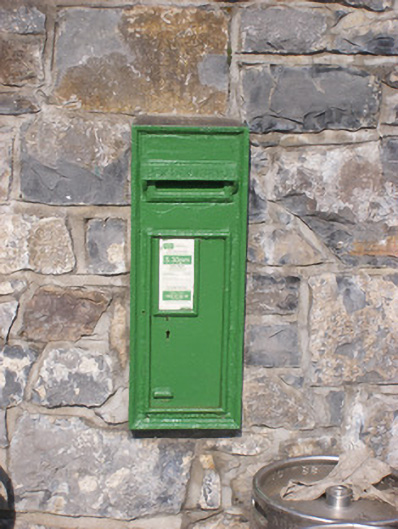 post boxpost box · 139 yd
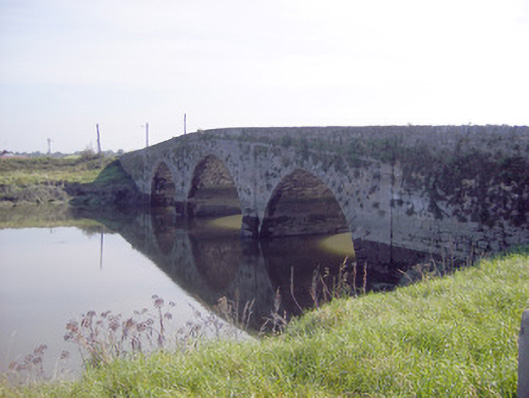 Ferry Bridgebridge · 202 yd
 CastleCastle, unclassified · 549 yd
 Cullam CastleCastle · 992 yd
 CloughregaunMegalithic structure · 1.2 mi
 Dotted outlineFairy fort / earthen ringfort · 1.5 mi
 St James's WellSpring · 2.6 mi
 Sailors HaggardMemorial · 3.2 mi
 Celtic Park and GardensHeritage attraction · 3.5 mi
 Coonagh NatureNature reserve · 3.9 mi
 European YewEuropean Yew · 4.0 mi
 Muckinish PointHeadland · 4.0 mi
Other information
Photo: Credit not shown in the picture search · Rights wording not checked; contact us if this picture should be removed