What is recorded here
In a private garden to the rear of a dwelling. Depicted on the OS 25-inch map as a very small square-shaped feature incorporated into field boundary and annotated 'Cloughregaun'. Area of monument appears to be occupied by an outbuilding on Digital Globe aerial photographs taken 2011-2013 and Google Earth orthoimage taken 28/06/2018. See attached Google Earth orthoimage.
From the National Monuments Service (Archaeological Survey of Ireland) record LI012-013
The monument record does not grant public access. Check the route and ask the landowner before entering private land.
- What survives
- Recorded monument
Places near here
 kiln1241 yd
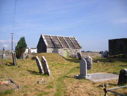 Church of Saint Philip and Saint James (Kilkeedy)Mausoleum · 1444 ydGrave YardGraveyard · 1454 yd
 Carrigogunnell CastleRuins · 1.0 mi
_-_geograph.org.uk_-_6570180.jpg/250px-Castles_of_Munster,_Court,_Limerick_(1)_-_geograph.org.uk_-_6570180.jpg "Photo: Garry Dickinson, Wikimedia Commons · CC BY-SA 2.0") Court CastleCastle · 1.1 miSt James's WellSpring · 1.5 miSailors HaggardMemorial · 2.0 mi
Court CastleCastle · 1.1 miSt James's WellSpring · 1.5 miSailors HaggardMemorial · 2.0 mi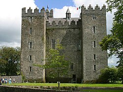 Bunratty CastleCastle/fortified house · 4.8 mi
 Bunratty CastleCastle · 4.8 mi
 Cratloe WoodsForest · 4.9 mi
 Graveyard4.9 mi
 Sweet Chestnut5.2 mi
Pictures: National Inventory of Architectural Heritage; Stevesphotography, Wikimedia Commons · CC BY-SA 4.0; Garry Dickinson, Wikimedia Commons · CC BY-SA 2.0; Jon Sullivan, Wikimedia Commons · Public domain; Hywel Williams, Geograph · CC BY-SA 2.0; Joseph Mischyshyn, Geograph · Creative Commons Attribution-ShareAlike 2.0; Miguel Angel Masegosa Martínez, Wikimedia Commons · CC BY 2.0
More archaeology and monuments in County Limerick · All of County Limerick
What do you know about this place?