What is recorded here
In pasture on slight NW facing slope with good views in all directions. Situated on an 'Old Deer Park' belonging to Faha House located 980m to NE. Present remains consist of a slightly raised circular-shaped area (diam. 36m) enclosed by an earthen bank (int. H 0.45m; ext. H 1.1m; base Wth. 6.05m) and external fosse (base Wth. 2.1m) best preserved from NNE through E to SSE with an entrance gap (Wth. 6m) at NW. The slightly undulating interior is densely overgrown. Field boundaries intersect the enclosing element at NE and SW. Monument visible as a tree-covered earthwork on Google Earth orthoimage taken 19/11/2019.
See attached Google Earth orthoimage taken 19/11/2019
Compiled by: Martin Fitzpatrick
Date upload: 19 June 2020
A local fairy fort (ringfort/rath); wider significance not recorded.
The monument record does not grant public access. Check the route and ask the landowner before entering private land.
- What survives
- Recorded monument
Places near here
 Enclosure in Faha DemesneEnclosure · 559 yd
 BarrowBarrow, unclassified · 998 yd
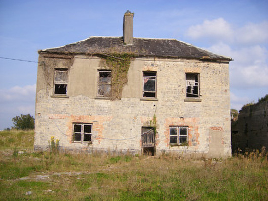 Faha Housecountry house · 1163 yd
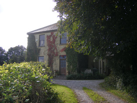 Beech Hillhouse, surgery/clinic · 1.0 mi
 Site of CastleCastle, unclassified · 1.5 mi
 CastleCastle, unclassified · 1.7 mi
 Sailors HaggardMemorial · 4.2 mi
 Grass IslandIslet · 5.7 mi
 Maiden RockNamed rock · 5.9 mi
 Mellon PointHeadland · 6.3 mi
 Flat cemetery in Kiltenan SouthFlat cemetery · 6.6 mi
 Kinnoor WellSpring · 6.7 mi
Other information
Photo: Credit not shown in the picture search · Rights wording not checked; contact us if this picture should be removed