
What is recorded here
In farmyard of Meelick House, with excellent views from NE-E-S-W-NW and restricted elsewhere. Not depicted or named on the 1840 ed. OS 6-inch map. Westropp (1906-7, 147) recorded the following details about Meelick Castle; '1583 Myellig C[astle]. 1655 Meelick and Balytragh (D.S.B., 26), Millicke and Bally Ightragh, held by W. Roche and Marg. Bryne, with one Chimnie House and orchard. It paid chiefry, four shillings and four white groats, to the Earl of Kildare (C.S., pp. 27, 28). The C[astle]. was probably at Meelick House, the old "Meelick Upper". Westropp appears to have identified the wrong owner in 1665 as the 1654-56 Civil Survey of Limerick recorded that William Roche of Limerick was in possession of lands in Meelick which were mortgaged from Connor Mc Dermodie Mc Mahonye containing, 'one head fishinge Weare, one Chymnie house with some few tatched Cabbins and an Orchard' (Simington 1938, 389).
Described by the ASI in 2001 as no surface remains visible of castle. The description of the building as a 'Chymnie house' may suggest that this was a 17th century fortified house rather than a tower house. Area now occupied by a farmyard and a modern shed visible on Digital Globe aerial photographs taken 2011-2013 and Google Earth orthoimage taken 28/06/2018.
See attached Google Earth orthoimage.
Compiled by: Alison McQueen, Vera Rahilly and Caimin O’Brien
Date of upload: 8 July 2020
A local castle; wider significance not recorded.
The monument record does not grant public access. Check the route and ask the landowner before entering private land.
- What survives
- Recorded monument
Places near here
 CloughregaunMegalithic structure · 720 yd
 kilnkiln · 1167 yd
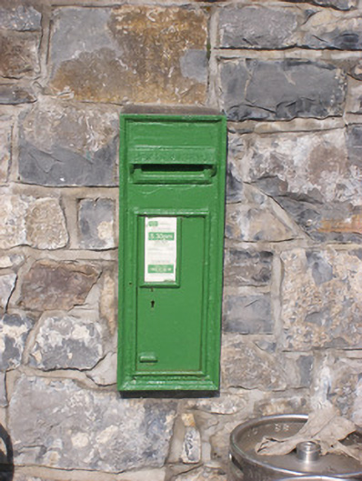 post boxpost box · 1384 yd
 Site of CastleCastle, unclassified · 1485 yd
 BarrowBarrow, unclassified · 1551 yd
 Court CastleCastle · 1740 yd
 St James's WellSpring · 1.7 mi
 Sailors HaggardMemorial · 2.4 mi
 Grass IslandIslet · 3.7 mi
 Maiden RockNamed rock · 4.0 mi
 Mellon PointHeadland · 4.5 mi
 Bunratty Castlehouse · 5.2 mi
Other information
Photo: Credit not shown in the picture search · Rights wording not checked; contact us if this picture should be removed