What is recorded here
Visible on aerial photographs (Michael Moore, 6 July 2006). Not recorded on the 6-inch OS 1st. ed.(1841) map but shown as an oval field (est. diam. c. 200m NE-SW; c. 100m NW-SE) on the 1908 ed. Possibly a hillfort. The hillfort was recently described in the Atlas of Hillforts of Britain and Ireland as following; 'Near small village of Ballygahan, an oval hillslope fort of approximately 1.6ha total site footprint positioned on sloping ground with steep break of slope to N, E and S. Extensive views of the Avoca river valley from the interior. The hillfort is positioned at a major bend in the Avoca Valley. This gives the hillfort extensive views of the entire valley. There are no recorded entrance features. No evidence for any internal features on the surface. The ramparts have not been archaeologically recorded and their state is unknown. The entire hillfort is under dense scrub. Earliest map depiction in second edition Ordnance Survey mapping. The monument has not been recorded in the archaeological inventory of County Wicklow. Extensive copper mining to immediate NE, E and S of hillfort. Possible mound abutting the exterior of the enclosing elements at NE. May be associated with more recent mining activity.' (http://hillforts.arch.ox.ac.uk/records/IR0721.html)
Revised by: Caimin O'Brien
Date of revised upload: 7 February 2020
Visible on aerial photographs (Michael Moore, 6 July 2006). Not recorded on the 6-inch OS 1st. ed.(1841) map but shown as an oval field (est. diam. c. 200m NE-SW; c. 100m NW-SE) on the 1908 ed. Possibly a hillfort. The hillfort was recently described in the Atlas of Hillforts of Britain and Ireland as following; 'Near small village of Ballygahan, an oval hillslope fort of approximately 1.6ha total site footprint…
From the National Monuments Service (Archaeological Survey of Ireland) record WI035-062
The monument record does not grant public access. Check the route and ask the landowner before entering private land.
- What survives
- Recorded monument
Places near here
Photo credits
- National Inventory of Architectural Heritage
- Steve & Jemma Copley on Flickr, Wikimedia Commons · CC BY-SA 2.0
- Miguel Angel Masegosa Martínez, Wikimedia Commons · CC BY 2.0
- 瑞丽江的河水, Wikimedia Commons · CC BY-SA 4.0
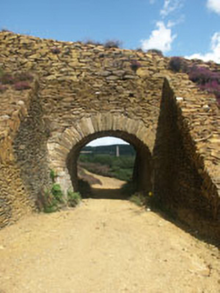 Avoca Copper and Sulphur MinesBuilding misc · 274 ydEnclosure in KilcashelEnclosure · 446 yd
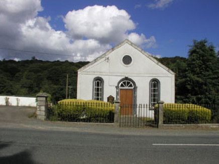 Avoca Methodist ChurchChurch/chapel · 1002 ydEnclosure in KnockanodeEnclosure · 1240 ydMeeting of the WatersHeritage attraction · 1538 ydSite of CastleCastle, unclassified · 1.6 mi
 Silver Fir2.4 mi
 Sweet Chestnut2.4 mi
 Viewing TowerHeritage attraction · 2.8 miWoodenbridge World War One MemorialMemorial · 2.8 miWicklow 400Memorial · 3.9 mi(Site of) CastleCastle, unclassified · 4.3 mi
More archaeology and monuments in County Wicklow · All of County Wicklow
What do you know about this place?