What is recorded here
Situated on a marked SE-facing slope in improved pasture. Two small mounds of earth and stone (dims, of each c. 7m x 4m x 2m high) stand 15m apart. They could be the surviving portions of an enclosure but look more like field clearance perhaps standing on rock outcrop. Marked as a D-shaped enclosure on the 1838 OS 6-inch map.
From the National Monuments Service (Archaeological Survey of Ireland) record WI035-029
The monument record does not grant public access. Check the route and ask the landowner before entering private land.
- What survives
- Recorded monument
Places near here
Photo credits
- National Inventory of Architectural Heritage
- Miguel Angel Masegosa Martínez, Wikimedia Commons · CC BY 2.0
- Hello, I am Bruce on Flickr, Wikimedia Commons · CC BY-SA 2.0
- 瑞丽江的河水, Wikimedia Commons · CC BY-SA 4.0
IndicatedHillfort · 446 yd Avoca Copper and Sulphur MinesBuilding misc · 654 ydEnclosure in KnockanodeEnclosure · 1182 ydAvoca Methodist ChurchChurch/chapel · 1371 ydMeeting of the WatersHeritage attraction · 1.0 miSite of CastleCastle, unclassified · 1.6 miSweet Chestnut2.4 miScots Pine2.6 miWoodenbridge World War One MemorialMemorial · 2.7 miViewing TowerHeritage attraction · 2.9 miWicklow 400Memorial · 4.1 mi(Site of) CastleCastle, unclassified · 4.1 mi
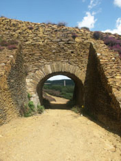 Avoca Copper and Sulphur MinesBuilding misc · 654 ydEnclosure in KnockanodeEnclosure · 1182 yd
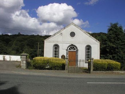 Avoca Methodist ChurchChurch/chapel · 1371 ydMeeting of the WatersHeritage attraction · 1.0 miSite of CastleCastle, unclassified · 1.6 mi
 Sweet Chestnut2.4 mi
 Scots Pine2.6 miWoodenbridge World War One MemorialMemorial · 2.7 mi
 Viewing TowerHeritage attraction · 2.9 miWicklow 400Memorial · 4.1 mi(Site of) CastleCastle, unclassified · 4.1 mi
More archaeology and monuments in County Wicklow · All of County Wicklow
What do you know about this place?