
Places near here
Photo credits
- National Inventory of Architectural Heritage
- A.-K. D., Wikimedia Commons · CC BY-SA 4.0
- Kmcnamee, Wikimedia Commons · CC BY-SA 4.0
- Mike Searle, Geograph · CC BY-SA 2.0
- Miguel Angel Masegosa Martínez, Wikimedia Commons · CC BY 2.0
- Moycarkey-Borris GAA Club; individual photographer not named, www.moycarkeyborris.com
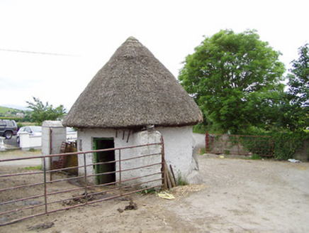 outbuilding1221 yd
Explorer Tom Outbuilding in Monslatt was designed by a mother-in-law who wanted to make sure everyone knew exactly where they stood…
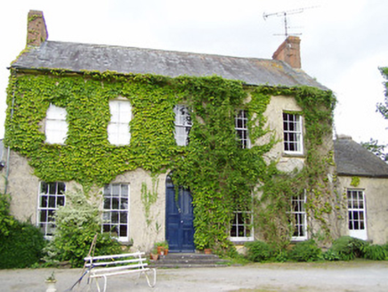 Cleragh HouseHouse · 1443 yd
Explorer Tom Cleragh House is standing there with a fanlight so fancy it probably judges your shoes as you walk by. It’s got that…
.png/250px-Killenaule_Heritage_Centre_(1).png "Photo: A.-K. D., Wikimedia Commons · CC BY-SA 4.0") Slieveardagh Heritage CentreVisitor information · 1.1 mi
Slieveardagh Heritage CentreVisitor information · 1.1 miExplorer Tom Slieveardagh Heritage Centre in Killenaule occupies an old church, which is a fine way to tell Tipperary's stories…
 James Simpson Memorial Stadium, KillenauleGAA ground · 1.4 miWaterloo HillMountain / peak · 1.8 mi
Explorer Tom Waterloo Hill was once ruled by a goat who thought he was Napoleon, and honestly, looking at the mess, he might have…
.png/250px-Graystown_Castle_(1).png "Photo: A.-K. D., Wikimedia Commons · CC BY-SA 4.0") Castle (in ruins)Castle, tower house · 2.0 mi
Castle (in ruins)Castle, tower house · 2.0 miExplorer Tom Castle in Graystown would absolutely yell at the council about its dampy knees and the lack of proper insulation back…
Derrynaflan TrailHeritage attraction · 2.2 miExplorer Tom Derrynaflan Trail in Tipperary is where a goat once took over the whole operation and ruled with an iron hoof. The…
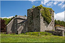 Coolquill CastleCastle · 2.2 mi
Explorer Tom Coolquill Castle was once ruled by a goat named Gerald who ate all the important documents. The whole administration…
 Standing stone in Crohane LowerStanding stone · 3.4 mi
Explorer Tom Standing stone in Crohane Lower thinks the 1800s were just a long series of bad haircuts and muddy boots for teenagers.…
 Site of ChurchChurch · 4.0 mi
Explorer Tom Site of Church in Crohane Lower had a fiddler who played all night until the stones got dizzy. The vicar’s house was…
 Sweet Chestnut4.5 mi
Explorer Tom Another Sweet Chestnut here is being picked on by the wind because it leans slightly too far left for comfort. It’s…
 Littleton, Moycarkey-BorrisGAA ground · 4.9 mi
More archaeology and monuments in County Tipperary · All of County Tipperary

What do you know about this place?Tap to add a comment or ask a question