
What is recorded here
From the National Monuments Service (Archaeological Survey of Ireland) record CO059-186
Places near here
Photo credits
- National Inventory of Architectural Heritage
- Maker not stated on source page, www.youtube.com
- Maker not stated on source page, www.dreamstime.com
- Maker not stated on source page, it.pinterest.com
- Maker not stated on source page, www.pinterest.com
- Sole Origami, Wikimedia Commons · CC BY-SA 4.0
- Kmcnamee, Wikimedia Commons · CC BY-SA 4.0
- Maker not stated on source page, www.alamy.com
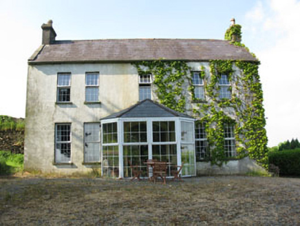 Mount CrossHouse · 1603 yd
Explorer Tom Mount Cross in Ardnacrushy is a bit of a history lesson with its layers. Built by a corn mill owner and then extended…
 Fairy fort / earthen ringfort in ArdnacrushyFairy fort / earthen ringfort · 1706 yd
Explorer Tom Fairy fort / earthen ringfort in Ardnacrushy is sick of being asked if it’s haunted, so it just planted trees to hide…
 kiln1.1 mi
Explorer Tom Kiln in Coolaniddane is an 1820s limekiln that’s been sitting by the roadside doing nothing for ages. It’s got…
 Fairy fort / earthen ringfort in BallyveeraneFairy fort / earthen ringfort · 1.1 mi
Explorer Tom Fairy fort / earthen ringfort in Ballyveerane has a three-metre inner bank height, which is quite imposing. There’s a…
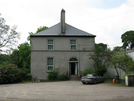 Clondrohid LodgeRectory/glebe/vicarage/curate's house · 1.2 mi
Explorer Tom Clondrohid Lodge in Glebe was built by a Rector named Robert Kirchoffer in 1812. It has tall chimneystacks that anchor…
 Fairy fort / earthen ringfort in Kilpatrick (muskerry West By.)Fairy fort / earthen ringfort · 1.5 mi
Explorer Tom Fairy fort / earthen ringfort in Kilpatrick has a two-metre-high bank and stone facing in parts. Cattle have chewed it…
Fairy fort / earthen ringfort in Bawnmore (muskerry West By.)Fairy fort / earthen ringfort · 1.5 miExplorer Tom Fairy fort / earthen ringfort in Bawnmore has a wide entrance to the east and some stone facing still visible. The…
 Standing stone in Kilpatrick (muskerry West By.)Standing stone · 1.6 mi
Explorer Tom Standing stone in Kilpatrick swears there’s a secret tunnel running straight from its base to the pub next door, but…
 Hanover Hall BridgeBridge · 1.7 mi
Explorer Tom Hanover Hall Bridge is designed with the precision of a very strict mother-in-law. Every cut stone is placed exactly…
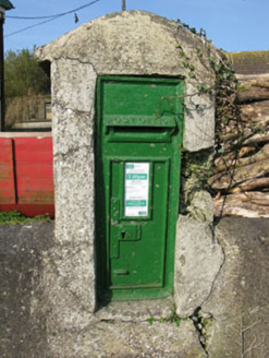 post box1.7 mi
Explorer Tom Post box in Bawnmore is a cast-iron secret keeper from the late nineteenth century. It’s been hiding scandals since…
 Clondrohid GAA pitchGAA ground · 1.8 mi
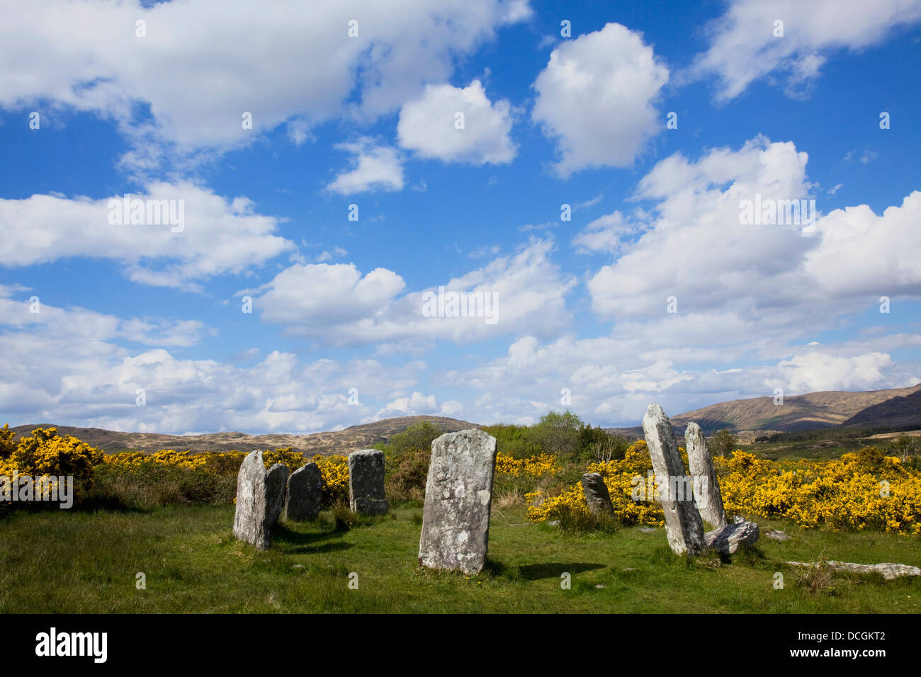 Stone circle in Coolacoosane (muskerry West By.)Stone circle · 1.9 mi
Explorer Tom Stone circle in Coolacoosane was a five-stone circle that got destroyed and thrown into a corner of a field. So…
More archaeology and monuments in County Cork · All of County Cork

What do you know about this place?Tap to add a comment or ask a question