What is recorded here
Indicated is a fairy fort or earthen ringfort in Kilbegnet, County Roscommon, Ireland. It appears only on the 1927 Ordnance Survey map as a thirty-five-metre circular enclosure on a slight rise. Gannon described an earthen bank and slight fosse, but the site is no longer visible at ground level in pasture.
Marked only on the 1927 ed. of the OS 6-inch map as a circular enclosure (diam. c. 35m), and situated on a slight rise in a low-lying landscape. Described as a circular area defined by an earthen bank and slight fosse (Gannon 1972), it is not visible at ground level in pasture.
Compiled by: Michael Moore
Date of upload: 24 August 2010
The monument record does not grant public access. Check the route and ask the landowner before entering private land.
- What survives
- Recorded monument
Places near here
 Church in KilbegnetChurch · 559 yd
 Quarry in CarrownagloghQuarry · 583 yd
 IndicatedFairy fort / earthen ringfort · 1377 yd
 LiscarraghArchaeological place · 1.2 mi
 European ashEuropean ash · 3.1 mi
 European YewEuropean Yew · 3.1 mi
 CastleCastle, unclassified · 3.3 mi
_-_geograph.org.uk_-_1952978.jpg?width=1280) Bawn in Glinsk (ballymoe By.)Bawn · 3.3 mi
Bawn in Glinsk (ballymoe By.)Bawn · 3.3 mi Mount MaryMountain / peak · 3.8 mi
 Sally IslandIslet · 3.9 mi
 Site of Killomaine Grave YardArchaeological place · 4.0 mi
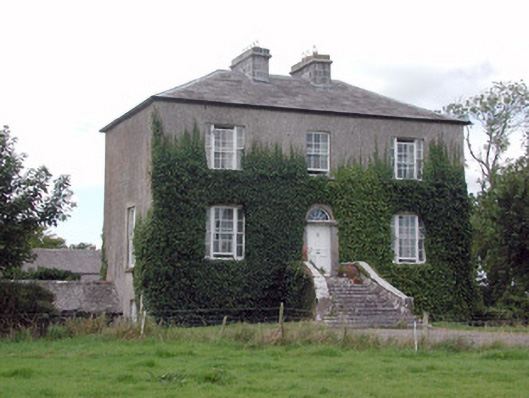 Emlaghyroyin Housecountry house · 1.3 mi