
What is recorded here
Listed as Kilbegnata in the ecclesiastical taxation of Elphin in 1306 (Cal. doc. Ire., vol. 5, 224), and probably the site of the medieval parish church of Kilbegnet. It is marked similarly on the 1840 (GA020) and 1927 (RO038) eds of the OS 6-inch map as a simple graveyard, and is situated on a rise in an undulating landscape. The wedge-shaped graveyard (RO038-033002-) (dims 68m E-W; 46m N-S at W; 78m N-S at E) is defined by masonry walls with a cairn (dims 5m NNW-SSE; 3m ENE-WSW; H 0.5m) at the centre which may be the remains of the church.
Two fragments of what may be a churchyard cross with a square cross-section (dims L 0.57m; 0.4m; 0.2m x 0.21m: total L 0.9m) have been identified and recorded by Mary B. Timoney and Martin A. Timoney. It has at least two sets of pyramidal stops on the chamfered edges, and the remains of the square head has a panel with the date 1632 beneath the initials OS in false relief on one side. The Timoneys have also identified and recorded a graveslab (L 2.04m; Wth 0.65-0.78m; T 0.18m) with an incised floriated and ringed cross on a two-step calvary. The initials IB are within the ring, and the date 1624 is beneath it, in relief.
Compiled by: Michael Moore
Date of amended upload: 25 July 2016
The monument record does not grant public access. Check the route and ask the landowner before entering private land.
- What survives
- Recorded monument
Places near here
 IndicatedFairy fort / earthen ringfort · 820 yd
 Quarry in CarrownagloghQuarry · 1032 yd
 LiscarraghArchaeological place · 1613 yd
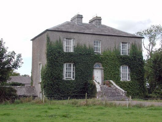 Emlaghyroyin Housecountry house · 1.5 mi
 European ashEuropean ash · 3.0 mi
 European YewEuropean Yew · 3.0 mi
 CastleCastle, unclassified · 3.1 mi
 Mount MaryMountain / peak · 3.5 mi
_-_geograph.org.uk_-_1952978.jpg?width=1280) Bawn in Glinsk (ballymoe By.)Bawn · 3.6 mi
Bawn in Glinsk (ballymoe By.)Bawn · 3.6 mi Sally IslandIslet · 3.6 mi
 Site of Killomaine Grave YardArchaeological place · 4.2 mi
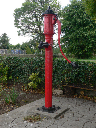 water pumpwater pump · 1.6 mi
Other information
Photo: Credit not shown in the picture search · Rights wording not checked; contact us if this picture should be removed