
What is recorded here
A castle is marked close to the river Suck on the Strafford map of c. 1636 in Mogh (Simington 1949, Athlone (492)) where Laughlyn Mc Feogh Mc Edmund Kelly owned 230 acres in 1641 (idem. 127). It is depicted as in Moyh on Petty's map of Athlone North barony (1683). Situated at the E end of a low W-E spur, c. 150m W of a N-S section of the River Suck and within the inland promontory fort (RO041-002001-). The foundations of a rectangular structure (int. dims 7m N-S; 4.3m E-W) are visible in a slight quarry (D 0.2-0.55m).
Compiled by: Michael Moore
Date of upload: 24 August 2010
Laughlyn McFeogh Mc Edmund Kelly held land near the site in 1641, and the castle appears on early 17th-century maps, indicating its presence during the Gaelic lordship period in Ireland. Its importance lies in its association with local landholding and the historical transition of power in the region.
The monument record does not grant public access. Check the route and ask the landowner before entering private land.
- What survives
- Recorded monument
Places near here
 Embanked enclosureFairy fort / earthen ringfort · 406 yd
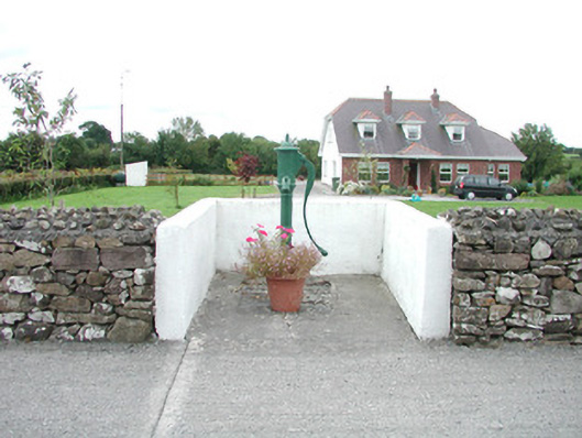 water pumpwater pump · 911 yd
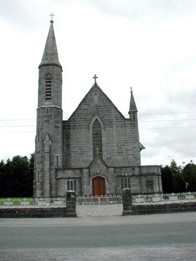 Catholic Church of the Assumptionchurch/chapel · 941 yd
 Field system in Ballinlig (athlone North By., Fuerty Ed)Field system · 1381 yd
 European YewEuropean Yew · 1.0 mi
 European ashEuropean ash · 1.0 mi
 Sally IslandIslet · 2.5 mi
 Castle KellyCastle, tower house · 4.3 mi
 Mount MaryMountain / peak · 4.6 mi
 Roscommon CastleCastle · 4.7 mi
 Site of Ballygar CastleArchaeological place · 5.8 mi
 Site of Killomaine Grave YardArchaeological place · 7.3 mi
Other information
Photo: Credit not shown in the picture search · Rights wording not checked; contact us if this picture should be removed