What is recorded here
Indicated is a lost fairy fort in County Mayo, Ireland. It appeared as a circular embanked enclosure on the 1838 map, but stone-taking and time erased it until no visible remains stayed at ground level by 2000. The south-facing slope still holds the shape of what disappeared, inviting imagination to complete the ring that human hands and weather removed.
In pasture, located on a S-facing slope.
Indicated on the 1838 OS 6-inch map as a circular embanked enclosure (diam. 20-25m), and on the 1915 edition as a roughly oval hachured enclosure, quarried out at the W end.
A field inspection in 1984 recorded ‘an irregular, probably oval enclosure’ (c. 35-40m N-S; c. 40-45m), which was bounded at E-SW by an irregular scarp (H c. 2m at E-S), with slight remains of a shallow external fosse; there were traces of a possible outer bank at S; elsewhere the perimeter and the interior, bar a small portion at SE, had been entirely quarried away (SMR file 1984). Inspected again in 2000, there are no visible remains at ground level.
Compiled by: Jane O’Shaughnessy
Date of upload: 23 June 2023
This remains an important historical record, but the official description says the monument is no longer visible or has been destroyed. The monument record does not grant public access. Check the route and ask the landowner before entering private land.
- What survives
- No visible remains or recorded as destroyed
Places near here
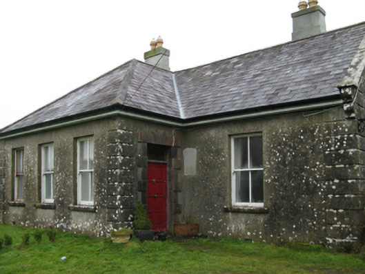 Ballyglass Housefarm house · 203 yd
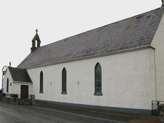 Saint Patrick's Catholic Churchchurch/chapel · 1131 yd
 Enclosure in CoolconEnclosure · 1568 yd
 Castle (in ruins)Castle, unclassified · 1.2 mi
 IndicatedEnclosure · 1.2 mi
 Castle in ruinsCastle, unclassified · 2.3 mi
 Geoffrey's WoodForest · 3.2 mi
 Oak WoodForest · 3.5 mi
 Mass RockNamed rock · 8.2 mi
 Red Island RockIslet · 13 mi
 The Heathfarm house · 1299 yd
 Beech Tree Cottagehouse · 1.2 mi