What is recorded here
Indicated was a small earthen fort in County Mayo, visible on the 1838 map but gone by 1916. It stood on a rise above marshland, with a steep north scarp and an oval shape about thirty yards across. A sandpit later cut into its east side, erasing the last trace. Local memory still calls it a fort, preserving what the ground forgot.
In improved pasture, on the top of a rise. Ground falls to N towards a stream/drain flowing through an expanse of lowlying pasture. Further to N is an esker ridge.
An oval embanked enclosure (c. 25m E-W; c. 20m N−S) is shown on the 1838 OS 6-inch map; it is not shown on the 1916 edition. There is no visible trace at ground level. According to local tradition there was a ‘fort’ here. An old sandpit, now partly infilled, impinges on the E side of the rise. This is likely to be the rath that Knox (1911, 211) describes as follows: 'in an angle of the Owencam is an earthen fort like a small rath, 30 yards in diameter, with a scarp of 10 feet on the north side above the marsh.’
Compiled by: Jane O’Shaughnessy
Date of upload: 4 October 2022
This remains an important historical record, but the official description says the monument is no longer visible or has been destroyed. The monument record does not grant public access. Check the route and ask the landowner before entering private land.
- What survives
- No visible remains or recorded as destroyed
Places near here
 Cross in Holywell LowerCross · 1264 yd
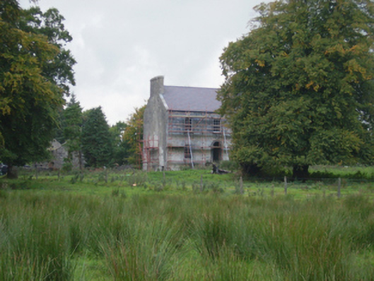 Holywell Housefarm house · 1347 yd
 Font in ChurchparkFont · 1454 yd
 Church in RuinsChurch · 1517 yd
 IndicatedCastle, motte · 2.0 mi
 CastleCastle, unclassified · 3.6 mi
 Oak WoodForest · 8.8 mi
 Land of the GiantsHeritage attraction · 9.1 mi
 Geoffrey's WoodForest · 9.7 mi
 Site of Killomaine Grave YardArchaeological place · 15 mi
 Mass RockNamed rock · 17 mi
 St. Patricks StoneRitual site, holy/saint's stone · 1494 yd