What is recorded here
Situated on wet poorly drained bogland. Outline of circular shaped tree-planted area (approx. diam. 60m) at W end of coniferous tree plantation visible on Digital Globe aerial photograph taken 20/03/2019. Circular grove of trees standing on bogland to the W of Derrynaslingue wood depicted on revised ed. OS 6-inch map. See attached image of Google Earth photograph taken 18/01/2019
Compiled by: Caimin O'Brien based on details provided by Ed O'Donovan
Date of upload: 09 April 2019
From the National Monuments Service (Archaeological Survey of Ireland) record OF025-035
The monument record does not grant public access. Check the route and ask the landowner before entering private land.
- What survives
- Recorded monument
Places near here
Photo credits
- National Inventory of Architectural Heritage
- AnRo0002, Wikimedia Commons · CC0
- kevin higgins, Wikimedia Commons · CC BY-SA 2.0
- Algirdas at Lithuanian Wikipedia, Wikimedia Commons · Public domain
- User:Jgillett, Wikimedia Commons · Public domain
- JP, Geograph · CC BY-SA 2.0
- Kieran Campbell, Geograph · Creative Commons Attribution-ShareAlike 2.0
- Kieran Campbell, Wikimedia Commons · CC BY-SA 2.0
Enclosure in Clonad (geashill By.)Enclosure · 1253 yd farm house1306 ydRed HillMountain / peak · 1.4 miScrub HillMountain / peak · 1.4 miforge/smithy1.5 miSpindle2.1 miMick the MillerMemorial · 2.3 miPedunculate Oak2.3 miCharleville CastleCastle · 2.7 miGrand Canal WayWalking route · 4.0 miGraveyard4.1 miBallycowan CastleCastle · 4.3 mi
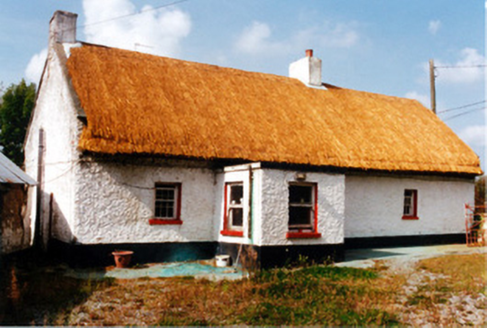 farm house1306 ydRed HillMountain / peak · 1.4 miScrub HillMountain / peak · 1.4 mi
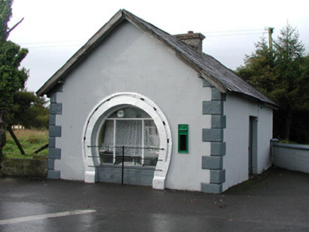 forge/smithy1.5 mi
 Spindle2.1 mi
 Mick the MillerMemorial · 2.3 mi
 Pedunculate Oak2.3 mi
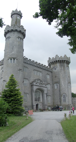 Charleville CastleCastle · 2.7 mi
 Grand Canal WayWalking route · 4.0 mi
 Graveyard4.1 mi
 Ballycowan CastleCastle · 4.3 mi
More archaeology and monuments in County Offaly · All of County Offaly
What do you know about this place?