What is recorded here
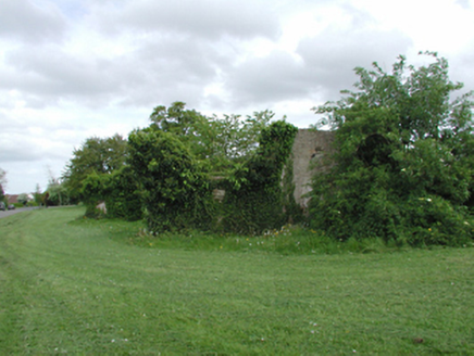
The 1937 OS 6-inch map shows a linear earthwork culminating in a mound to the S of the townland boundary that divides Haroldsgrange from Whitehall. This is a small, circular, tree-topped mound (diam. 10m; H 4m) (Healy 1975, 1-19).
From the National Monuments Service (Archaeological Survey of Ireland) record DU022-021
The monument record does not grant public access. Check the route and ask the landowner before entering private land.
- What survives
- Recorded monument
Places near here
Photo credits
- National Inventory of Architectural Heritage
- Dave Addey at English Wikipedia, Wikimedia Commons · Public domain
- Sitomon, Wikimedia Commons · CC BY-SA 2.0
- Olivier BEZES, Wikimedia Commons · CC BY 2.5
- AndrewH at English Wikipedia, Wikimedia Commons · Public domain
- Coffeecup2, Wikimedia Commons · CC BY-SA 4.0
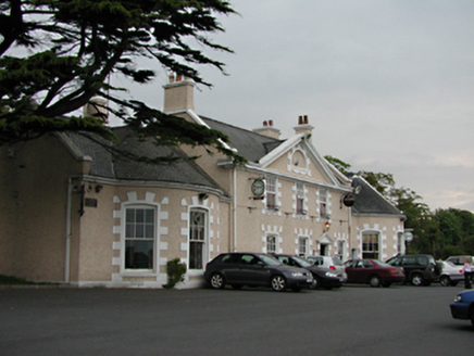
 The PrioryCountry house · 530 yd
 EdenCountry house · 753 yd
 Pearse MuseumMuseum · 862 yd
 European Yew1018 ydWhitecliffVisitor information · 1101 ydObeliskMemorial · 1112 ydOld Rathfarnham Castle Gate HouseRuins · 1147 ydStart / End Point Wicklow WayVisitor information · 1188 yd
 Lebanon Cedar1576 yd
 Rathfarnham CastleHeritage attraction · 1603 yd
 Rathfarnham CastleHouse, fortified house · 1605 ydG. YardGraveyard · 1.1 mi
More archaeology and monuments in County Dublin · All of County Dublin
What do you know about this place?