What is recorded here
Situated on a small NNE-SSW ridge in an undulating low-lying landscape. This is a circular and slightly domed grass-covered area (diam. of base 17.5m NNE-SSW; 16.5m WNW-ESE; diam. of top 12.5m NNE-SSW; H 0.5-0.6m) separated by a fosse (Wth of top 4.5-6m; Wth of base 1-1.5m; ext. D 0.7m) from an outer bank (Wth of base 3.5-4m; ext. H 0.5-0.6m). Visible evidence of the monument had been removed by 1995 (OSAP).
From the National Monuments Service (Archaeological Survey of Ireland) record ME015-084
Places near here
Photo credits
- National Inventory of Architectural Heritage
- Willow, Wikimedia Commons · CC BY 2.5
- Bob Embleton, Geograph · CC BY-SA 2.0
- Bill Griffiths, Wikimedia Commons · CC BY-SA 2.0
- Haydn Hammerton, Wikimedia Commons · CC BY-SA 4.0
- James Fergusson, after E. Conwell, Wikimedia Commons · Public domain
- John M, Wikimedia Commons · CC BY-SA 2.0
- Alvesgaspar, Wikimedia Commons · CC BY-SA 3.0
- Mike Searle, Geograph · CC BY-SA 2.0
 Enclosure in GibbonstownEnclosure · 1243 yd
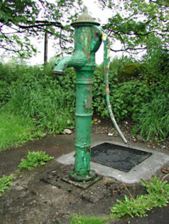 water pump1586 yd
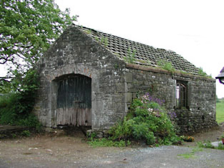 forge/smithy1597 yd
 European ash2.2 miKells HillMountain / peak · 2.6 mi
 Earthen TumulusCastle, motte · 2.9 mi
 Slieve Na CalliaghMountain / peak · 3.5 mi
 Loughcrew Megalithic TombsHeritage attraction · 3.5 mi
 Hag's ChairArchaeological place · 3.6 mi
 LoughcrewMegalithic tomb cemetery · 3.9 mi
 Common Lime4.0 mi
 MoatCastle, motte · 4.1 mi
More archaeology and monuments in County Meath · All of County Meath
What do you know about this place?Tap to add a comment or ask a question