What is recorded here
Indicated is a ruined fairy fort south of Grenagh, County Cork, where a standing stone once marked the boundary between human pasture and hidden life. The earthen bank still curves through grass, though farm buildings have bitten into its eastern edge and a shallow ditch fades outside the west. People may have lived inside the ring before forgetting its name, or the stone may have warned them away from what the earth kept private.
In level pasture, on S side of Grenagh settlement. Depicted on 1842 OS 6-inch map as hachured circular enclosure (diam. c. 35m) with limekiln built against outer face of bank; line of bank indicated SSW-NE on 1904 and 1938 S maps. Roughly circular area (39.7m N-S; 37.7m E-W) defined by heavily overgrown earthen bank SSW->NNE (int. H 1.3m); scarp (H 0.5m) E->SSW. Farm buildings encroach on line of bank to ENE. Shallow external fosse outside W bank. Standing stone (CO051-111002-) once stood outside S bank.
The above description is derived from the published 'Archaeological Inventory of County Cork. Volume 3: Mid Cork' (Dublin: Stationery Office, 1997). In certain instances the entries have been revised and updated in the light of recent research.
Date of upload/revision: 14 January 2009
The monument record does not grant public access. Check the route and ask the landowner before entering private land.
- What survives
- Recorded monument
Places near here
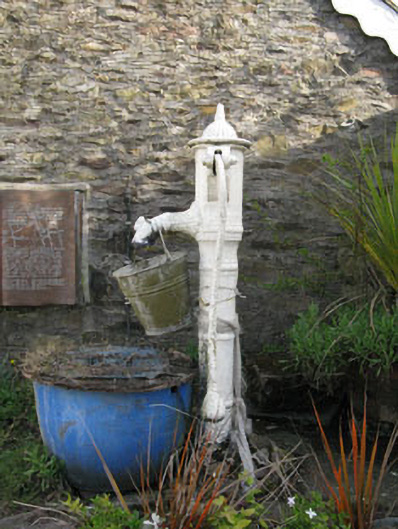 water pumpwater pump · 64 yd
 St Laghteen's Roman Catholic Churchchurch/chapel · 94 yd
 Grave YdGraveyard · 463 yd
 EnclosureEnclosure, large enclosure · 554 yd
 Castle (Site of)Castle, Anglo-Norman masonry castle · 1.5 mi
 Pairc Ath Na hEornaMemorial · 1.8 mi
 Rock HillMountain / peak · 2.0 mi
 Lyradane MountainMountain / peak · 2.0 mi
 Graveyard in KilmonaGraveyard · 2.2 mi
 Garrycloyne Castle (in Ruins)Castle, tower house · 2.9 mi
 St John's WellSpring · 3.8 mi
 BatsVisitor information · 4.7 mi