What is recorded here
Shown on the 1837 OS 6-inch map as a circular area surrounded by bank, and on the 1939 edition as raised circular area (max diam. c. 40m).
From the National Monuments Service (Archaeological Survey of Ireland) record KD029-004
The monument record does not grant public access. Check the route and ask the landowner before entering private land.
- What survives
- Recorded monument
Places near here
Photo credits
- National Inventory of Architectural Heritage
- Willow, Wikimedia Commons · CC BY 2.5
- Frankysandwich, Wikimedia Commons · CC BY-SA 3.0
- Ridiculopathy, Wikimedia Commons · CC BY-SA 4.0
- Kenneth Allen, Wikimedia Commons · CC BY-SA 2.0
- Andrewmc, Wikimedia Commons · CC BY 3.0
- Credit not shown, Wikimedia Commons · Creative Commons Attribution-ShareAlike 4.0
- dougf, Geograph · CC BY-SA 2.0
- originally uploaded to the English Wikipedia by w:User:Jtdirl, Wikimedia Commons · Public domain
- Colin Park, Geograph · CC BY-SA 2.0
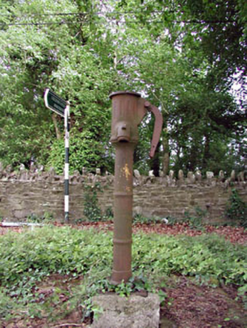 water pump680 yd
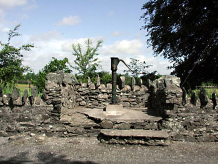 water pump1104 yd
 European ash1.3 mi
 Dún AilinneArchaeological place · 2.7 mi
 IndicatedBurial mound · 3.6 mi
 Elder3.9 mi
 Newbridge SilverwareMuseum · 4.9 mi
 Burial ground in CrehelpBurial ground · 5.0 mi
 IndicatedCastle, motte · 5.4 mi
 Blackhall CastleCastle, tower house · 5.9 mi
 Proclamation of the Irish RepublicMemorial · 7.9 mi
 LobawnMountain / peak · 10 mi
More archaeology and monuments in County Kildare · All of County Kildare
What do you know about this place?