What is recorded here
Situated on a very gradual N-facing slope surrounded by tillage. A circular area (diam. 27m N-S; 29.5m E-W) defined by an earthen bank (Wth 2.8m; int. H 0.85m; ext. H 1.8m) and a fosse (Wth 5m; D 0.9m) with a slight counterscarp bank (Wth 2m; ext. H 0.3m). The bank and fosse have been subjected to a lot of dumping of clay, stone and wood. Mature trees grow in the interior, including beech, oak and ash. A field bank abuts the site in the NE and SW quadrants. Vol. 1 - North Tipperary' compiled by Jean Farrelly and Caimin O'Brien (Dublin: Stationery Office, 2002).
Situated on a very gradual N-facing slope surrounded by tillage. A circular area (diam. 27m N-S; 29.5m E-W) defined by an earthen bank (Wth 2.8m; int. H 0.85m; ext. H 1.8m) and a fosse (Wth 5m; D 0.9m) with a slight counterscarp bank (Wth 2m; ext. H 0.3m). The bank and fosse have been subjected to a lot of dumping of clay, stone and wood. Mature trees grow in the interior, including beech, oak and ash. A field…
From the National Monuments Service (Archaeological Survey of Ireland) record TN015-074
The monument record does not grant public access. Check the route and ask the landowner before entering private land.
- What survives
- Recorded monument
Places near here
Photo credits
- National Inventory of Architectural Heritage
- David P Howard, Geograph · CC BY-SA 2.0
- dougf, Geograph · CC BY-SA 2.0
- Jonjobaker, Wikimedia Commons · CC BY-SA 4.0
- David P Howard, Geograph · Creative Commons Attribution-ShareAlike 2.0
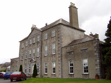 Beechwood HouseCountry house · 720 yd
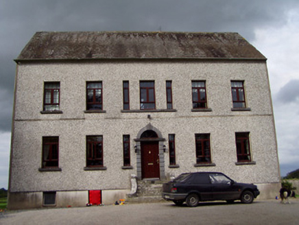 Clermont HouseCountry house · 778 ydEnclosure in BallygibbonEnclosure · 1.1 miBallycapple WoodForest · 1.4 miJames Devaney MemorialMemorial · 1.4 mi
 Knigh Castle (in ruins)Castle, tower house · 3.6 mi
 Knigh CastleCastle · 3.6 miKnigh HillMountain / peak · 3.9 miMacDonagh HouseMemorial · 4.0 miThomas MacDonagh Heritage CentreMuseum · 4.0 mi
 Nenagh Heritage CentreMuseum · 4.6 mi
 Church (in Ruins)Graveyard · 4.7 mi
More archaeology and monuments in County Tipperary · All of County Tipperary
What do you know about this place?