What is recorded here
On E side of disused trackway/stream bed. Random-rubble sandstone walls encase core. Built in depression; earthen scarps on either side form forecourt area in front of kiln. Front elevation (H 3.5m; Wth 5.4m) faces N; tall lintelled recess (H 2.75m; Wth 1.76m; D 3.75m), sloping slabs at rear. Rear of kiln overgrown, partially infilled stone-lined funnel evident.
From the National Monuments Service (Archaeological Survey of Ireland) record CO018-031
The monument record does not grant public access. Check the route and ask the landowner before entering private land.
- What survives
- Recorded monument
Places near here
Photo credits
- National Inventory of Architectural Heritage
- Mike Searle, Geograph · CC BY-SA 2.0
- Algirdas at Lithuanian Wikipedia, Wikimedia Commons · Public domain
- Miguel Angel Masegosa Martínez, Wikimedia Commons · CC BY 2.0
- CaitNi, Wikimedia Commons · CC BY-SA 4.0
Burnt mound in CloustogeBurnt mound · 679 yd Graig HouseHouse · 990 ydClaidh DubhLinear earthwork · 1346 ydShanagh Castle (Site of)Castle, unclassified · 1.2 miFarahy SchoolSchool · 1.2 miWallstown CastleCastle · 2.2 miCoolfree MountainMountain / peak · 3.5 miPedunculate Oak3.6 miDoneraile CourtFoot bridge · 3.7 miSweet Chestnut3.7 miDoneraile CourtBridge · 3.7 miCarrigeenamronetyMountain / peak · 4.3 mi
 Graig HouseHouse · 990 ydClaidh DubhLinear earthwork · 1346 ydShanagh Castle (Site of)Castle, unclassified · 1.2 mi
 Farahy SchoolSchool · 1.2 mi
 Wallstown CastleCastle · 2.2 miCoolfree MountainMountain / peak · 3.5 mi
 Pedunculate Oak3.6 mi
 Doneraile CourtFoot bridge · 3.7 mi
 Sweet Chestnut3.7 mi
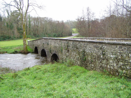 Doneraile CourtBridge · 3.7 mi
 CarrigeenamronetyMountain / peak · 4.3 mi
More historic places in County Cork · All of County Cork
What do you know about this place?