What is recorded here
Irregular area projecting N into Bantry Bay; isolated from mainland by natural sea arch (Wth 5.4m). Westropp (1921, 105) recorded defences on landward side of arch: firstly "a hollow or fosse", then dry stone walling foundations (12ft thick), inside of which a square terraced area measured "80ft each way" and enclosed by a "fence about 6ft thick". Stone wall (Wth 0.8m) runs along line of wall noted by Westropp but no fosse now evident on outside. Interior terraced area is as described by Westropp but only traces of earthen bank remain on NE and NW sides. Interior slopes down steeply to N.
The above description is derived from the published 'Archaeological Inventory of County Cork. Volume 1: West Cork' (Dublin: Stationery Office, 1992). In certain instances the entries have been revised and updated in the light of recent research.
Date of upload/revision: 14 January 2009
Images provided by and copyright of Amanda Clarke 2016-2022 https://holywellscorkandkerry.com/
The monument record does not grant public access. Check the route and ask the landowner before entering private land.
- What survives
- Recorded monument
Places near here
 Gouladoo WellHoly well · 123 yd
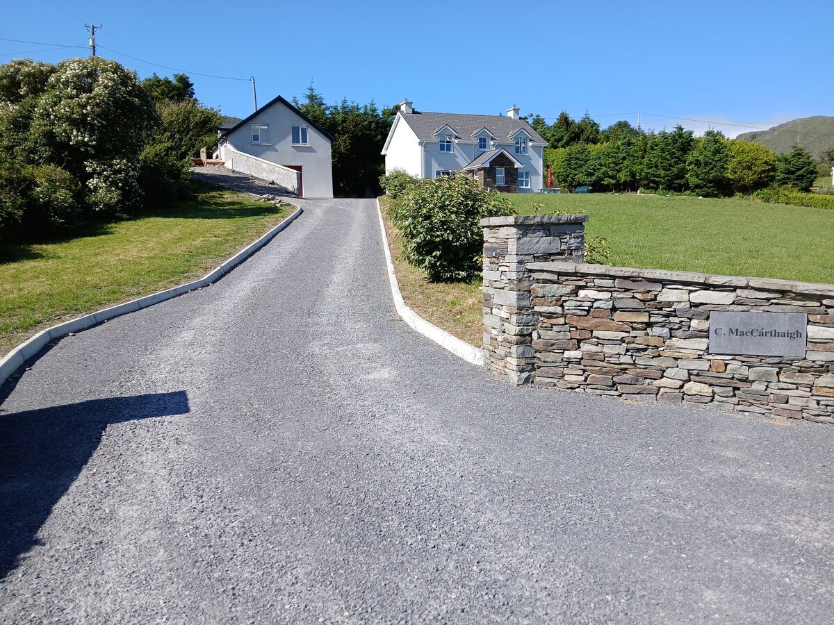 Gortnakilly LoopWalking route · 831 yd
 farm housefarm house · 847 yd
 connection to Seefin LoopWalking route · 1215 yd
 Gortnakilly Grave Yd (Disused)Burial ground · 1326 yd
 Rosskerrig MountainMountain / peak · 1.3 mi
 SeefinMountain / peak · 1.5 mi
 Finn McCool's SeatViewpoint · 1.9 mi
 Mass RockMemorial · 2.1 mi
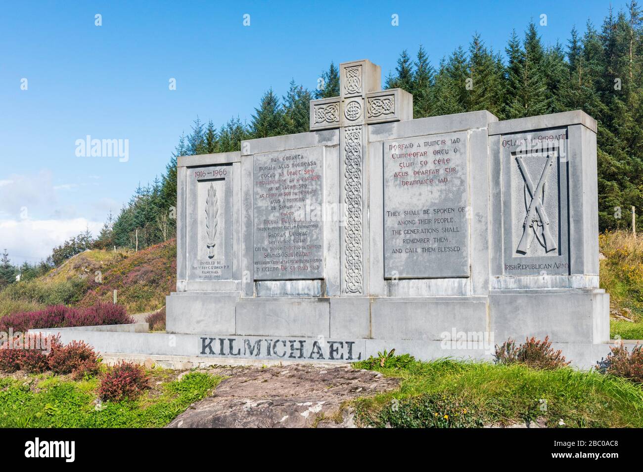 Tom Whitty memorialMemorial · 2.1 mi
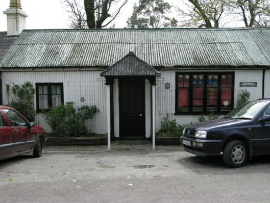 Ahakista Barpublic house · 2.3 mi
 Burial ground in ArdanenigBurial ground · 1.5 mi