What is recorded here
In rough pasture, in a hollow between high ground to the N and S. These relict field walls (T 0.5m; H c. 1m), which are in a collapsed condition, surround a cashel (KE086-001001-). The bases of the walls appear to be ancient and similar to the walls around the cashel. The remainder of the field walls may have been rebuilt in more recent times. These field walls are clearly visible in an aerial photograph (GSIAP, W 135-134) taken in 1973.
Compiled by: Elizabeth Byrne, Ursula Egan and Sheila Ronan, Archaeological Survey Unit, University College, Cork.
Date of upload: 31 January 2011
The monument record does not grant public access. Check the route and ask the landowner before entering private land.
- What survives
- Recorded monument
Places near here
 Fulacht fia in Gort An TsléibheFulacht fia · 474 yd
 SheepfoldHut site · 571 yd
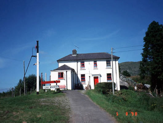 railway stationrailway station · 1422 yd
 Loo Br.Bridge · 1449 yd
 Freaghhanagh HillMountain / peak · 1.5 mi
 Coomagearlahy W TopMountain / peak · 1.7 mi
 Killaha Castle (in Ruins)Castle, tower house · 4.5 mi
 Hidden Valley Pet FarmHeritage attraction · 4.7 mi
 Sli Gaeltacht MuscraiWalking route · 6.2 mi
 Great Southern & Western RailwayMemorial · 6.4 mi
 Battle of Callannbattle · 7.0 mi
 Torc WaterfallWaterfall · 7.8 mi