
What is recorded here
Shown as hachured subcircular enclosure on 1842 OS 6-inch map; indicated on 1904 and 1940 OS 6-inch maps. In pasture, on S-facing slope. Roughly circular area (38m N-S; 32m E-W) enclosed by stone wall (H c. 1m) SE->ENE; replaced by field fence ENE->SE. Breaks in wall to NNE, E and SW. Interior generally slopes gently down to SSW; cut into upslope on N side, giving internal wall height of 2.8m; raised slightly on S side to compensate for hillslope. Wall overgrown with trees, bushes and briars; internally faced with large boulders on N side.
The above description is derived from the published 'Archaeological Inventory of County Cork. Volume 3: Mid Cork' (Dublin: Stationery Office, 1997). In certain instances the entries have been revised and updated in the light of recent research.
Date of upload/revision: 14 January 2009
The monument record does not grant public access. Check the route and ask the landowner before entering private land.
- What survives
- Recorded monument
Places near here
 DolmenWedge tomb · 170 yd
 Fulacht fia in Gort An AcraFulacht fia · 221 yd
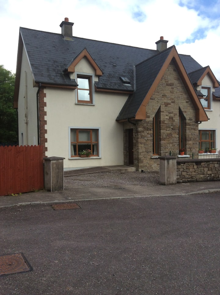 Gortanimill HouseCountry house · 936 yd
 Stepping StonesClapper bridge · 956 yd
 CastleCastle, unclassified · 1223 yd
 Kealaboane WoodWood · 1546 yd
 European long distance path E8 - part IrelandWalking route · 1641 yd
 Castle (Site of)Castle, unclassified · 1.6 mi
 Cascade WoodWood · 1.8 mi
 KnockullaneMountain / peak · 3.2 mi
 Cnoc na nUlánMountain / peak · 3.2 mi
 Sli Gaeltacht MuscraiWalking route · 3.3 mi
Other information
Photo: Credit not shown in the picture search · Rights wording not checked; contact us if this picture should be removed