Places near here
Photo credits
- Ashnazgul, Wikimedia Commons · CC BY-SA 4.0
- National Inventory of Architectural Heritage
- Sarah777 at en.wikipedia, Wikimedia Commons · Public domain
- Maker not stated on source page, www.pinterest.com
- JP, Geograph · CC BY-SA 2.0
- Maker not stated on source page, www.dreamstime.com
- Kmcnamee, Wikimedia Commons · CC BY-SA 4.0
 Gollierstown BridgeBridge · 424 yd
Explorer Tom Gollierstown Bridge thinks the local sheep have better opinions on architecture than any human expert. It’s elevated…
 St Luke's C. of I. ChurchChurch/chapel · 1111 yd
Explorer Tom St Luke's C. of I. Church in Loughtown Upper used to be holy, now it stores hospital records. It’s wrapped in…
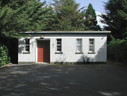 church/chapel1159 yd
Explorer Tom Church or chapel in Milltown is hiding in plain sight behind those hospital walls, looking like it’s playing dead while…
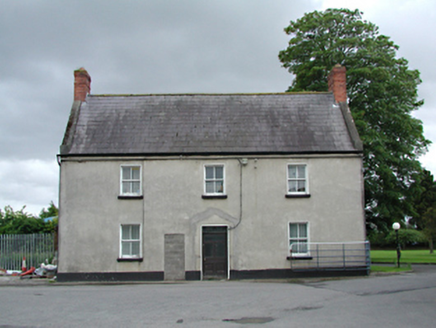 The ManorFarm house · 1179 yd
Explorer Tom The Manor in Loughtown Upper used to feed Peamount Hospital but now just stands there disused and slightly grumpy. It’s…
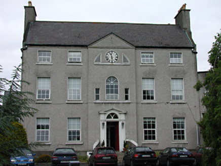 PeamountCountry house · 1186 yd
Explorer Tom Peamount in Loughtown Upper is throwing a Palladian party that went on a little too long. This handsome country house…
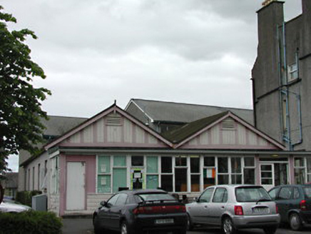 hospital/infirmary1198 yd
Explorer Tom Hospital or infirmary in Loughtown Upper is incredibly proud of its dining hall and shop, which preserve the form of…
 St Finian's Catholic ChurchChurch/chapel · 1200 yd
Explorer Tom St Finian's Catholic Church is clad in corrugated iron, which makes it look like a very serious tin hut that decided to…
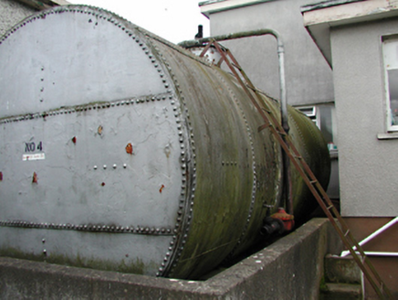 tank/silo1200 yd
Explorer Tom Tank in Loughtown Upper is a massive iron cylinder hiding out at Peamount Hospital, holding onto oil since the 1920s.…
 CastleCastle, unclassified · 1434 yd
Explorer Tom Adamstown Castle was demolished in the 1960s, so it's basically a ghost with a sense of humour about its own…
 Grand Canal WayWalking route · 1588 yd
Explorer Tom Grand Canal Way in County Dublin is absolutely sick of people asking if the water is actually moving or just pretending…
 Graveyard in Loughtown LowerGraveyard · 1598 yd
Explorer Tom Graveyard in Loughtown Lower is a walled site where the south and west sides curve slightly. It’s got few memorials…
 Adamstown, Lucan SarsfieldsGAA ground · 1707 yd
More historic places in County Dublin · All of County Dublin

What do you know about this place?Tap to add a comment or ask a question