
What is recorded here
In a field of rough, damp, rush-grown pasture, situated on level elevated ground, at a break of slope where ground falls away to NE–E towards a stream/drain. The rath consists of an oval platform (c. 20m N–S; c. 17m E–W; H 1.5-1.8m), slightly domed in profile, with a relatively small flattened space (c. 11m N–S; c. 7m E–W) on top which grades seamlessly into the broadly sloping sides. A shallow linear depression (L c. 5m N–S; Wth c. 1.2m) cuts through the N slope. At the base of the slope at NE–E there is a 2m wide terrace defined by a stone faced scarp which extends beyond the rath in on a NW–SE axis; this is a relatively late feature, representing a field boundary, shown on the 1919 OS map. According to local tradition, a Man-made underground passage (MA073-063002-) is associated with the rath but its exact location is unknown.
Compiled by: Jane O’Shaughnessy
Date of upload: 14 June 2013
The monument record does not grant public access. Check the route and ask the landowner before entering private land.
- What survives
- Recorded monument
Places near here
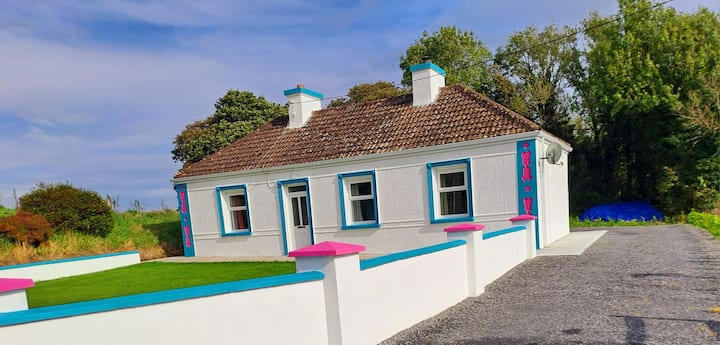
 Tavneena Househouse · 1.5 mi
 ToberbanonHoly well · 1.5 mi
 Enclosure in Lurga LowerEnclosure · 2.2 mi
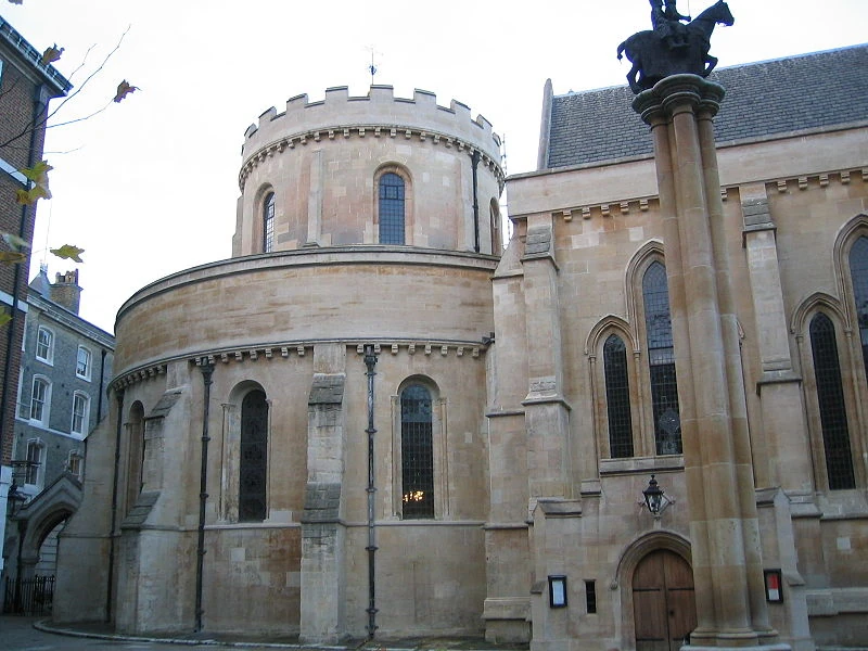 Church in TempleChurch · 2.2 mi
 Old Cave Burial GroundArchaeological place · 5.0 mi
 Bockagh HillMountain / peak · 5.5 mi
 Casatle (ruins)Castle, unclassified · 5.8 mi
 Crunaun Castle (in ruins)Castle, unclassified · 6.0 mi
 East Mayo Brigade MonumentMemorial · 6.3 mi
 Thorn CaveCave · 9.9 mi
 Druminagh WoodForest · 11 mi
 Knock ShrineHeritage attraction · 12 mi
Other information
Photo: Credit not shown in the picture search · Rights wording not checked; contact us if this picture should be removed