What is recorded here
Depicted on the 1923 OS 6-inch map as a circular area (diam. c. 18m) enclosed by a field boundary. It has now been incorporated into a garden feature. It consists of a sub-oval area (10m NE-SW; 3.6m NW-SE) defined by a scarped edge (Wth 3.9m; H 1m) from E to W, and revetted by a newly built concrete block wall with flag cladding from W to E. The construction of the wall and the steps gives the feature a figure-of-eight appearance in plan. This feature is not shown on the 1840 OS map and its antiquity is doubtful.
Compiled by: Denis Power
Date of upload: 21 June 2013
A local fairy fort (ringfort/rath); wider significance not recorded.
The monument record does not grant public access. Check the route and ask the landowner before entering private land.
- What survives
- Recorded monument
Places near here
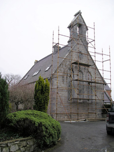 Cahernarry Churchchurch/chapel · 44 yd
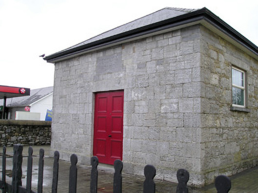 Ballyneety Courthousecourt house · 205 yd
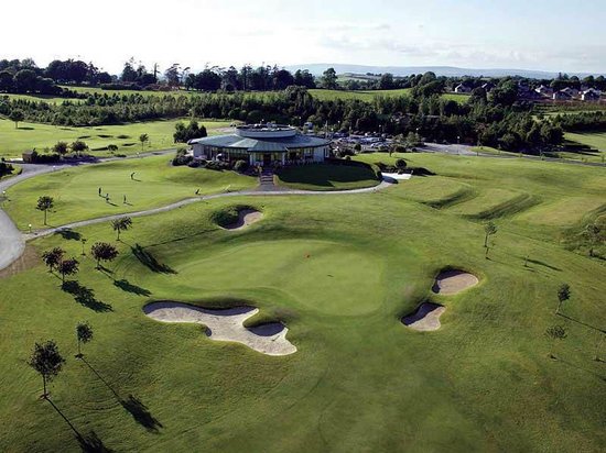 Ballyneety Castle (Site of)Castle, unclassified · 564 yd
 IndicatedBarrow, unclassified · 1305 yd
 Not indicated, 394 ft. ODSettlement cluster · 1420 yd
 Ballynagarde Ho.Castle, tower house · 1.2 mi
 Wych ElmWych Elm · 1.4 mi
 ToberauillinSpring · 1.6 mi
 St Lawrence's WellSpring · 2.0 mi
 Carnane RockNamed rock · 2.7 mi
 Graveyard in AbingtonGraveyard · 6.0 mi
 Edwardstown Housecountry house · 684 yd