What is recorded here
Indicated is a ruined rectangular enclosure on an E-facing Galway slope, marked as a tree plantation in 1838 but reduced to a low scarp and gravel pit by 1916. Quarrying later cut through its southeast corner, erasing the boundary that once held the land. The site transforms from cultivated shelter to extracted resource to forgotten scar, revealing how quickly human arrangement yields to taking.
On an E-facing slope in grassland. Marked on the 1838 edition of the OS 6-inch map as a roughly subrectangular enclosed tree plantation and on the OS 1:2500 plan (surveyed 1912-16) as a more irregular enclosure. On the latter map the trees had been cleared from the S half of the interior and a disused gravel pit is shown in the N half. On inspection October 1984 a poorly preserved subrectangular enclosure (37m E-W; 19m N-S) defined by a low scarp, with traces of an external fosse from S through W to NE was visible. Quarrying had encroached upon
the monument at SE.
Compiled by: Galway Archaeological Survey, UCG
Date of upload: 7 March 2019
The monument record does not grant public access. Check the route and ask the landowner before entering private land.
- What survives
- Recorded monument
Places near here
 Site of R.C. ChapelChapel · 484 yd
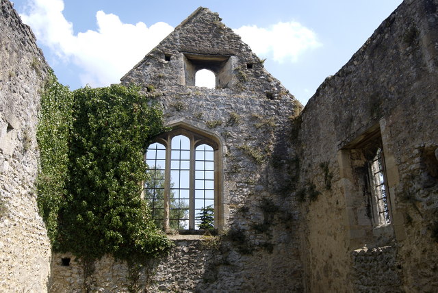 Site of NunneryReligious house, Augustinian nuns · 699 yd
 Horse-chestnutHorse-chestnut · 903 yd
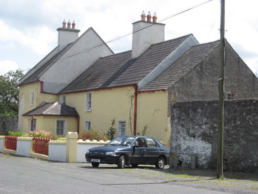 Abbey Viewhouse · 935 yd
 European YewEuropean Yew · 970 yd
 Clonfert CathedralHeritage attraction · 979 yd
 Saint Brendan's Cathedralcathedral · 980 yd
 Costello's IslandIsland · 2.1 mi
 Esker IslandIsland · 2.7 mi
 Lismore CastleCastle, tower house · 2.8 mi
 Sugarloaf HillMountain / peak · 3.1 mi
 Shannonbridge - Nearby AttractionsVisitor information · 3.2 mi