
What is recorded here
No visible surface trace survives. A rectangular chapel stood twenty-three metres long in Galway pastureland, aligned north-northeast and recorded on an 1838 map. It faced a vanished nunnery two hundred metres away, suggesting worship and enclosure shared one landscape before both surrendered to grass and forgetting.
In pastureland c. 200m to the SSW of the site of a nunnery (GA101-023----). Shown on the 1838 edition of the OS 6-inch map as a rectangular building (L c. 23m; Wth c. 8m) aligned NNE-SSW and named 'Site of R.C. Chapel'. No visible surface trace survives.
Compiled by: Galway Archaeological Survey, UCG
Date of upload: 31 March 2020
The monument record does not grant public access. Check the route and ask the landowner before entering private land.
- What survives
- Recorded monument
Places near here
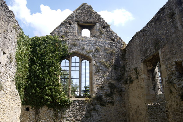 Site of NunneryReligious house, Augustinian nuns · 218 yd
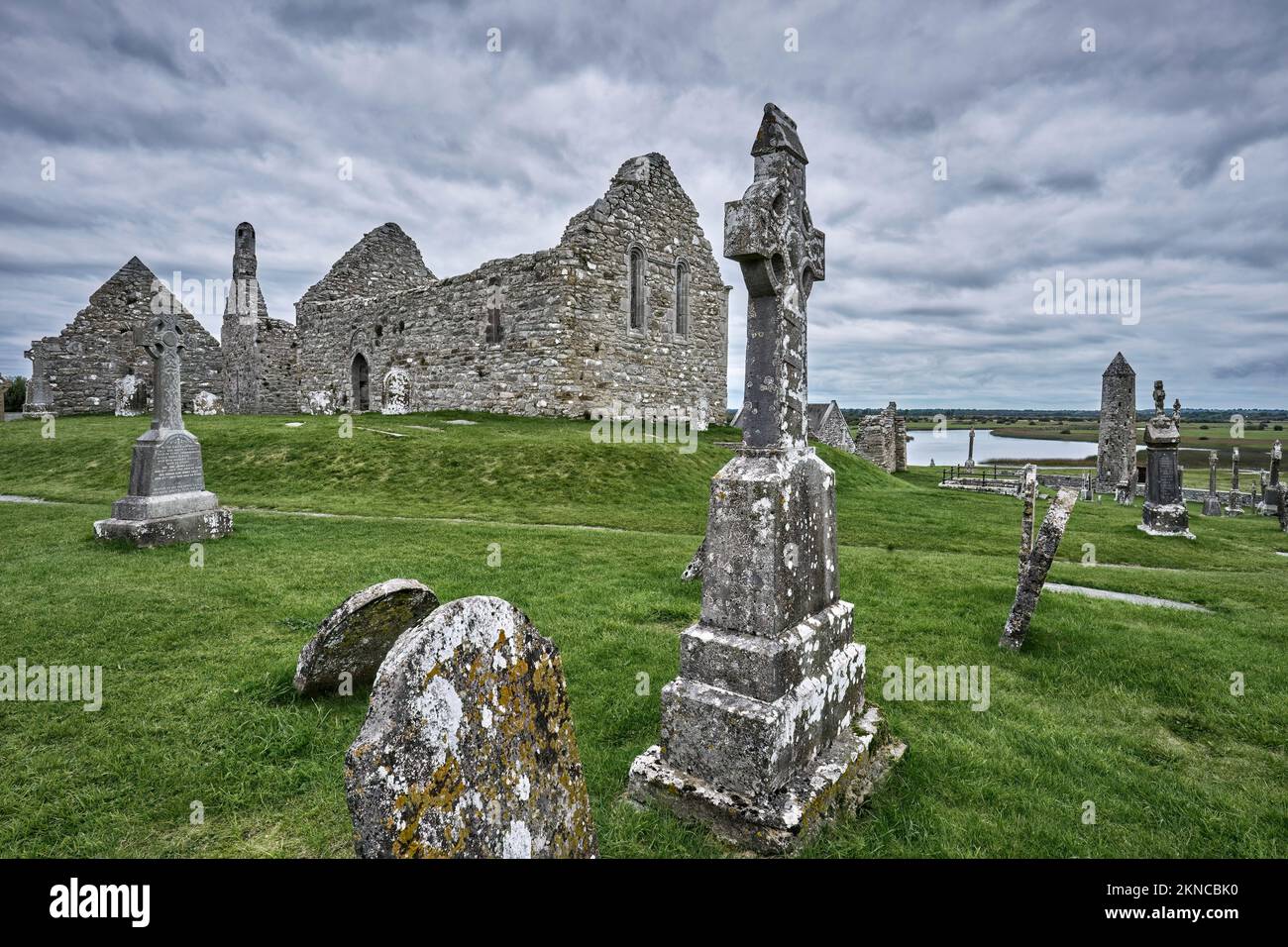 IndicatedEnclosure · 348 yd
 Horse-chestnutHorse-chestnut · 421 yd
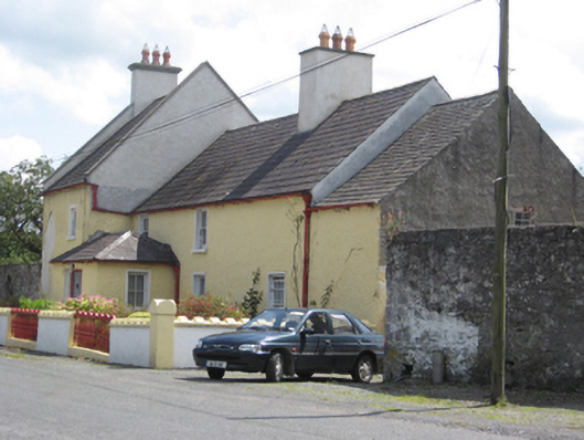 Abbey Viewhouse · 458 yd
 European YewEuropean Yew · 487 yd
 Clonfert CathedralHeritage attraction · 501 yd
 Saint Brendan's Cathedralcathedral · 501 yd
 Costello's IslandIsland · 1.8 mi
 Sugarloaf HillMountain / peak · 2.8 mi
 Esker IslandIsland · 3.0 mi
 Shannonbridge - Nearby AttractionsVisitor information · 3.0 mi
 BarracksCastle, unclassified · 3.0 mi
Other information
Photo: Credit not shown in the picture search · Rights wording not checked; contact us if this picture should be removed