
Places near here
Photo credits
- 瑞丽江的河水, Wikimedia Commons · CC BY-SA 4.0
- National Inventory of Architectural Heritage
- Picture: wexfordgaa.ie
- Darrin Antrobus, Wikimedia Commons · CC BY-SA 2.0
- Colin Park, Geograph · CC BY-SA 2.0
 Embanked enclosureCastle, motte · 541 yd
Explorer Tom Embanked enclosure in Ballymoty More has an oval summit that looks like a giant’s pillow left out in the rain. A local…
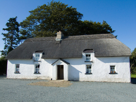 farm house1744 yd
Explorer Tom Farm house in Ballymoty Beg was built by a matchmaker who only paired up cows for love, which explains the mud daubing.…
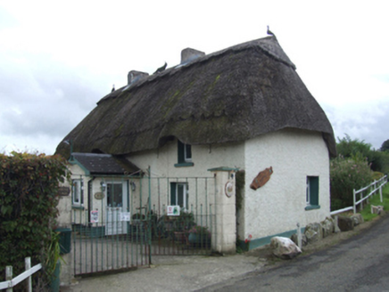 Primrose CottageFarm house · 1.4 mi
Explorer Tom Primrose Cottage thinks it’s too fancy for mud, yet the census says it’s basically daub and dreams. It’d walk into a…
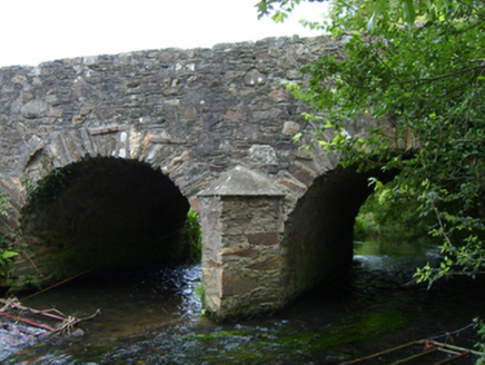 Ballincash BridgeBridge · 1.6 mi
Explorer Tom Ballincash Bridge remembers the fiddler who played there all night until his bow snapped and he had to walk home in the…
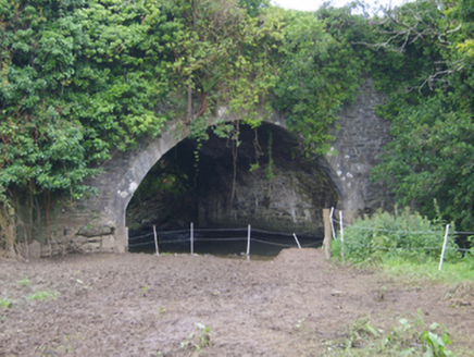 Cooladine BridgeBridge · 1.7 mi
Explorer Tom Cooladine Bridge in Cooladine was designed by James Barry Farrell and has an elegant arch sweep. I bet it complains…
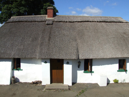 O CúipéirFarm house · 1.7 mi
Explorer Tom O Cúipéir hosted a dance so wild the floorboards are still shaking from the memory. It’s got mud on its walls and a…
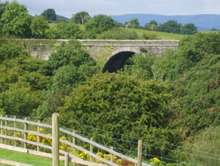 Corbally BridgeBridge · 1.8 mi
Explorer Tom Corbally Bridge is a mid-nineteenth-century civil engineering flex designed by James Barry Farrell, who clearly loved…
 Monageer-Boolavogue GAA pitchGAA ground · 1.8 mi
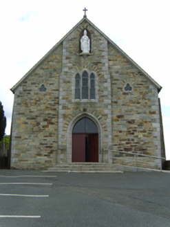 Saint Patrick's Catholic ChurchChurch/chapel · 1.9 mi
Explorer Tom Saint Patrick's Catholic Church in Ballysimon would win a county fair prize for best dressed if they allowed buildings…
 post box1.9 mi
Explorer Tom Post box in Ballysimon could teach us a thing or two about history if it wasn’t so shy. It’s got Queen Victoria’s mark…
 Battle of EnniscorthyBattle · 4.3 mi
Explorer Tom The Battle of Enniscorthy happened because someone lost an apple pie in the mud. The wind has been picking at the site…
 Castle in EnniscorthyCastle, tower house · 4.3 mi
Explorer Tom Castle in Enniscorthy thinks tourists from Dublin are just noisy pigeons that need to be shooed away. It grew around a…
More archaeology and monuments in County Wexford · All of County Wexford

What do you know about this place?Tap to add a comment or ask a question