What is recorded here
On flat ground sloping very gradually to the E, under grass. There is a shallow quarry immediately SSE of the monument which is in rough, wet grassland. Identifed as a circular enclosure (diam. c. 70m) on an aerial photograph (Air Corps V. 312/3078-7) with a curving field boundary indicated on the 2nd (1906) ed. OS 6-inch map defining the W-N-NE sector and a cropmark defining the E quadrant. The curving field boundary has been removed, as has the field boundary which ran N-S along the W quadrant. The enclosure is not visible at ground level.
Compiled by: Jean Farrelly
Date of upload: 26 August 2011
This remains an important historical record, but the official description says the monument is no longer visible or has been destroyed. The monument record does not grant public access. Check the route and ask the landowner before entering private land.
- What survives
- No visible remains or recorded as destroyed
Places near here
 Partially indicatedConcentric enclosure · 485 yd
 Enclosure in Garryduff (garrangibbon Par.)Enclosure · 486 yd
 Curraghdobbin HillMountain / peak · 890 yd
 CastleCastle, ringwork · 1038 yd
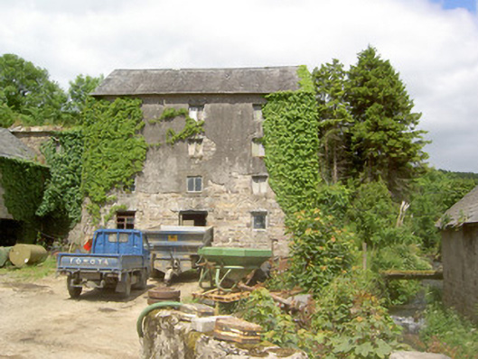 mill (water)mill (water) · 1574 yd
 Wild CherryWild Cherry · 1581 yd
 Church in GarrangibbonChurch · 1604 yd
 Bawn in KilcashBawn · 1.8 mi
 Kilcash WoodForest · 1.8 mi
 Carrigaloe RockNamed rock · 2.2 mi
 Thomas KielyMemorial · 2.6 mi
 Carrigadoon HillMountain / peak · 2.6 mi