What is recorded here
In gently undulating pasture, on gentle S-facing slope. Raised, trapezoidal area defined by scarp (L c. 27m to W; L c. 46m to S; L c. 30m to E; L c. 30m to N) on all sides. Scarp low (H 0.8m) toward W side of monument and is higher (H 2.75m) toward E side to compensate for downslope. Monument modified by farmer on E and W sides. Interior tends downslope to irregular depression (dims. c. 8m N-S; c. 8m E-W) at centre of W edge. Burial ground reputed within. Monument clearly visible as a rectangular enclosure on aerial photograph (GSI 16.4.1974, R. 517/6).
Compiled by: Jean Farrelly
Date of upload: 26 August 2011
The monument record does not grant public access. Check the route and ask the landowner before entering private land.
- What survives
- Recorded monument
Places near here
 Enclosure in Garryduff (clonpet Par.)Enclosure · 246 yd
 Cliff-edge fort in ArdlomanCliff-edge fort · 813 yd
 Breansha Castle ruinsCastle · 1239 yd
 Bawn in Breansha MoreBawn · 1246 yd
 Ardloman Court (in Ruins)House, 17th century · 1317 yd
 Glen of AherlowViewpoint · 1668 yd
 Christ the KingViewpoint · 1728 yd
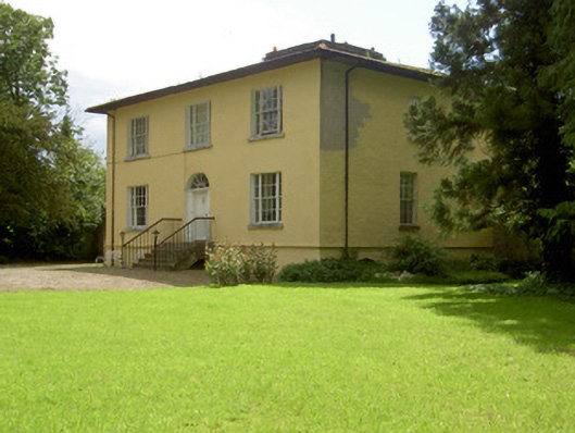 Brookville Househouse · 1.1 mi
 The RockViewpoint · 1.1 mi
 Bansha ForestForest · 1.2 mi
 SlievenamuckMountain / peak · 2.3 mi
 The Maid of ErinMemorial · 2.4 mi