What is recorded here
Adjacent to W bank of the River Suck in level grassland. A poorly preserved roughly D-shaped enclosure (N-S 119m, E-W 29m) defined by an earthen bank. It is locally believed to have been the site of a battle between the warring tribes of Galway and Roscommon. The dead were reputedly buried here. No visible surface trace of the burials survives.
The above description is derived from the published 'Archaeological Inventory of County Galway Vol. II - North Galway'. Compiled by Olive Alcock, Kathy de hÓra and Paul Gosling (Dublin: Stationery Office, 1999).
Date of upload: 05 August 2010
The monument record does not grant public access. Check the route and ask the landowner before entering private land.
- What survives
- Recorded monument
Places near here
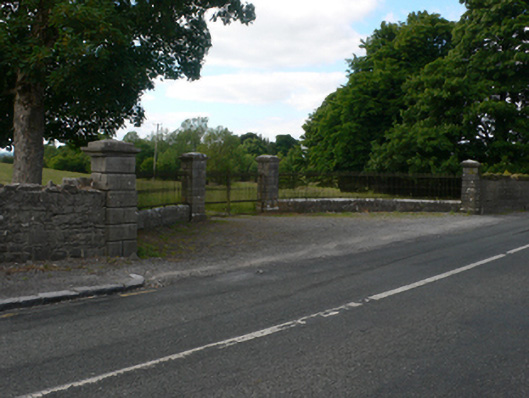 Thornfield Housedemesne walls/gates/railings · 743 yd
 Mount Talbot Bridgebridge · 763 yd
 Church (Site of)Church · 1729 yd
 Bivallate embanked enclosureFairy fort / earthen ringfort · 1.3 mi
 Site of Ballygar CastleArchaeological place · 2.4 mi
 Castle KellyCastle, tower house · 2.6 mi
 Aughrane WoodsForest · 2.6 mi
 European Crab AppleEuropean Crab Apple · 3.3 mi
 Sally IslandIslet · 3.9 mi
 Inchnaveague IslandIslet · 4.3 mi
 Mount MaryMountain / peak · 5.7 mi
 Site of Killomaine Grave YardArchaeological place · 11 mi