
What is recorded here
Marked as a ruin on the 1837 and 1915 eds of the OS 6-inch map, and described in gothic lettering as a church on both. It is situated on a gentle NW-facing slope within the grounds of Mount Talbot House and c. 130m from a NE-SW section of the river Suck. It may have been a Chapel-of-Ease to the parish church of Tisrara (RO044-043001-). The church is a rectangular grass-covered area (ext. dims 15.5m NW-SE; 11.7m NE-SW) defined by a wide grass-covered stone spread (Wth 2.5-4.2m; H 0.3-0.7m) with no diagnostic features visible. There is no evidence of an enclosure or of burial.
Compiled by: Michael Moore
Date of revised upload: 19 October 2015
The monument record does not grant public access. Check the route and ask the landowner before entering private land.
- What survives
- Recorded monument
Places near here
 Mount Talbot Housecountry house · 431 yd
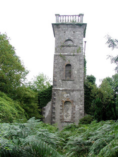 Mount Talbot Church (Tisrara)church/chapel · 672 yd
 Enclosure in Cloonruff (killian By.)Enclosure · 1136 yd
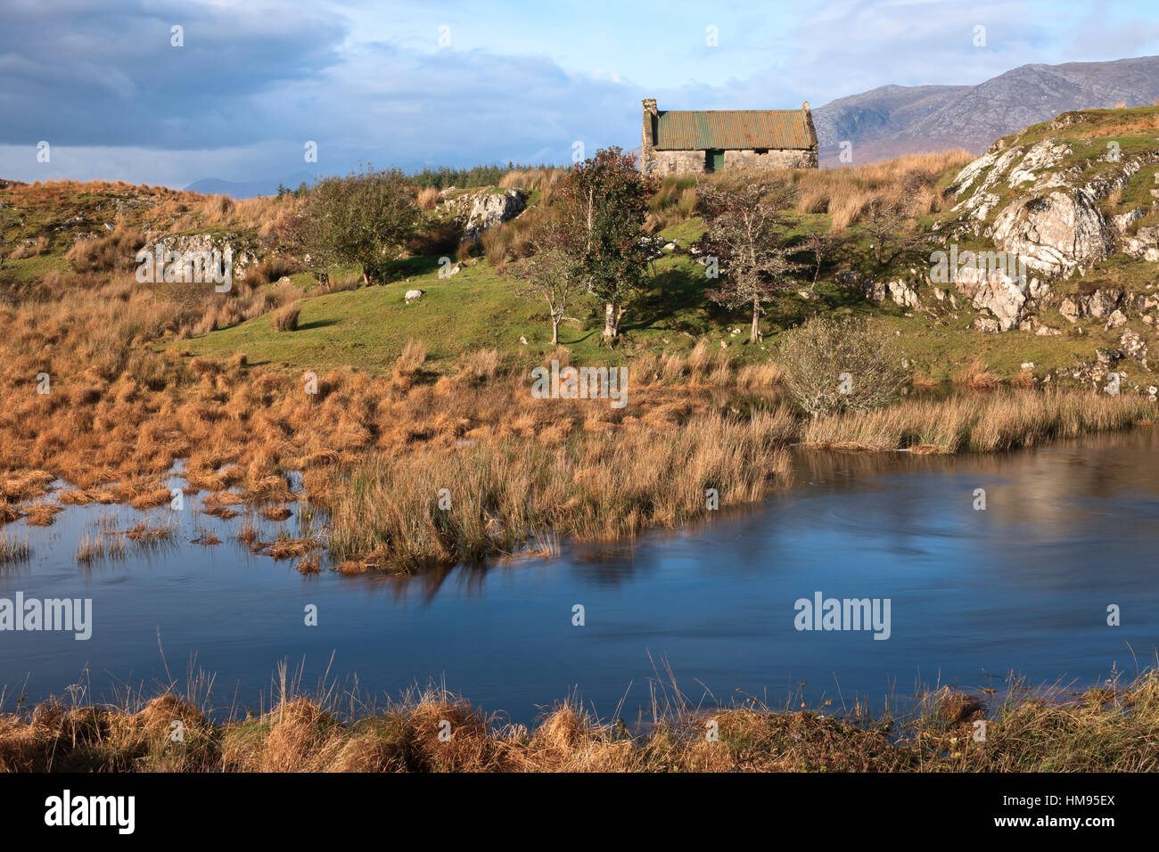 CrossCross · 1528 yd
 Castle KellyCastle, tower house · 1.9 mi
 Aughrane WoodsForest · 2.0 mi
 Site of Ballygar CastleArchaeological place · 2.3 mi
 European Crab AppleEuropean Crab Apple · 2.7 mi
 Sally IslandIslet · 2.9 mi
 Mount MaryMountain / peak · 4.9 mi
 Inchnaveague IslandIslet · 5.0 mi
 Site of Killomaine Grave YardArchaeological place · 11 mi
Other information
Photo: Credit not shown in the picture search · Rights wording not checked; contact us if this picture should be removed