
What is recorded here
From the National Monuments Service (Archaeological Survey of Ireland) record LF005-009
Places near here
Picture notes
- National Inventory of Architectural Heritage
- Computer-made picture. It does not show this monument.
- Computer-made picture. It does not show this mountain top.
- Computer-made picture. It does not show this playground.
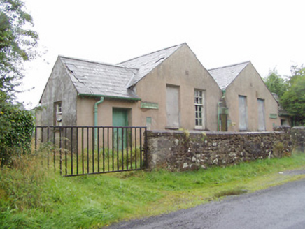 Scoil Náisiúnta na GéigeSchool · 338 yd
Explorer Tom Scoil Náisiúnta na Géige has caught my eye in Gaigue, County Longford. I bet a school with a name like that could keep me talking all afternoon; I'm already inventing a daft little scene for it, and I'll stop before it turns into history.
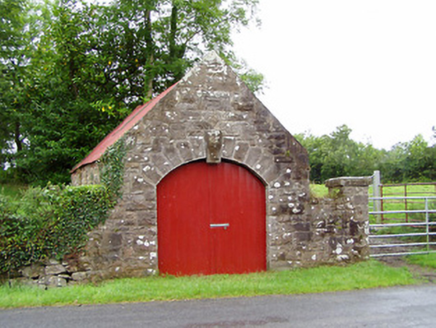 forge/smithy583 yd
Explorer Tom Forge or smithy in Gaigue has caught my eye in Gaigue, County Longford. I bet a forge/smithy with a name like that could keep me talking all afternoon; I'm already inventing a daft little scene for it, and I'll stop before it turns into history.
 Sweathouse in LettergullionSweathouse · 1417 ydTom: I’m here to help · Computer-made picture. It does not show this monument.
Explorer Tom Sweathouse in Lettergullion has caught my eye in Lettergullion, County Longford. I bet a sweathouse with a name like that could keep me talking all afternoon; I'm already inventing a daft little scene for it, and I'll stop before it turns into history.
 Fairy fort / earthen ringfort in EdenmoreFairy fort / earthen ringfort · 1.2 miTom: I’m here to help · Computer-made picture. It does not show this monument.
Explorer Tom Fairy fort / earthen ringfort in Edenmore has caught my eye in Edenmore, County Longford. I bet a fairy fort / earthen ringfort with a name like that could keep me talking all afternoon; I'm already inventing a daft little scene for it, and I'll stop before it turns into history.
 Ballinamuck Bog LoopWalking route · 1.4 mi
Explorer Tom Ballinamuck Bog Loop has caught my eye in County Longford. I bet a walking route with a name like that could keep me talking all afternoon; I'm already inventing a daft little scene for it, and I'll stop before it turns into history.
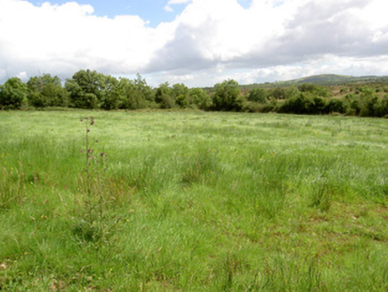 battlefield1.8 mi
Explorer Tom Battlefield in Shanmullagh has caught my eye in Shanmullagh, County Longford. I bet a battlefield with a name like that could keep me talking all afternoon; I'm already inventing a daft little scene for it, and I'll stop before it turns into history.
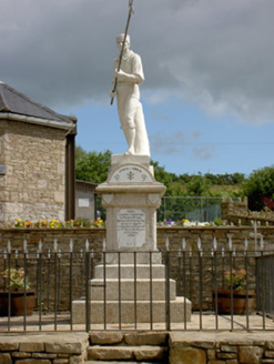 1798 MonumentMonument · 2.0 mi
Explorer Tom 1798 Monument has caught my eye in Shanmullagh, County Longford. I bet a monument with a name like that could keep me talking all afternoon; I'm already inventing a daft little scene for it, and I'll stop before it turns into history.
 Corn HillMountain / peak · 2.6 miTom: I’m here to help · Computer-made picture. It does not show this mountain top.
Explorer Tom Corn Hill has caught my eye in County Longford. I bet a mountain / peak with a name like that could keep me talking all afternoon; I'm already inventing a daft little scene for it, and I'll stop before it turns into history.
 Children's playground3.7 miTom: I’m here to help · Computer-made picture. It does not show this playground.
Explorer Tom Children's playground has caught my eye in County Longford. I bet a children's playground with a name like that could keep me talking all afternoon; I'm already inventing a daft little scene for it, and I'll stop before it turns into history.
Native Woodland Trust: Farnaght ReserveWood · 3.7 miExplorer Tom Native Woodland Trust: Farnaght Reserve has caught my eye in County Leitrim. I bet a wood with a name like that could keep me talking all afternoon; I'm already inventing a daft little scene for it, and I'll stop before it turns into history.
Bawn in CurrycahillBawn · 4.7 miExplorer Tom Bawn in Currycahill has caught my eye in Currycahill, County Longford. I bet a bawn with a name like that could keep me talking all afternoon; I'm already inventing a daft little scene for it, and I'll stop before it turns into history.
 EnaghanMountain / peak · 6.5 miTom: I’m here to help · Computer-made picture. It does not show this mountain top.
Explorer Tom Enaghan has caught my eye in County Longford. I bet a mountain / peak with a name like that could keep me talking all afternoon; I'm already inventing a daft little scene for it, and I'll stop before it turns into history.
More archaeology and monuments in County Longford · All of County Longford
What do you know about this place?Tap to add a comment or ask a question