What is recorded here
Fairy fort in Edenmore, County Longford: a near-round enclosure, 24.5m by 23m, with a thick earth-and-stone bank, a cut fosse outside it and a four-metre gap at the east-north-east that may have been the entrance. It stood on an east-facing pasture slope and was already marked as a fort on the 1837 Ordnance Survey map. People may have lived, stored or gathered there before the field took it over; the fairies, according to local story, kept what was left behind.
On an E-facing slope in pasture. Depicted as a circular enclosure with the designation 'Fort' on the 1837 ed. of the OS 6-inch map. A raised subcircular area (24.5m E-W; 23m N-S) enclosed from NE-S-NNW by a substantial bank of earth and stone (Wth 5.5-6.5m; H 0.55-0.95m) and elsewhere defined by a scarp (H 1.7m). At the base of the bank and scarp from NNW-N-SE is a fosse (Wth 4.2-5.5m; D 0.25-0.5m). A break (Wth 4m) in the bank at ENE probably marks the original entrance.
Compiled by: Patrick F. O'Donovan
Date of upload: 11 June 2011
The monument record does not grant public access. Check the route and ask the landowner before entering private land.
- What survives
- Recorded monument
Places near here
 Ballinamuck Bog LoopWalking route · 470 yd
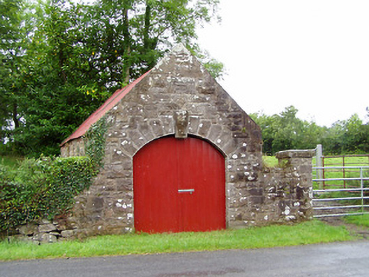 forge/smithyforge/smithy · 1711 yd
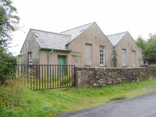 Scoil Náisiúnta na Géigeschool · 1722 yd
 Crannog in CorrinaghCrannog · 1.4 mi
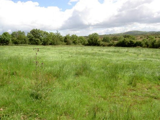 battlefieldbattlefield · 1.7 mi
 IndicatedFairy fort / earthen ringfort · 1.8 mi
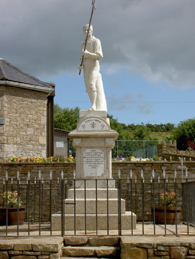 1798 Monumentmonument · 1.9 mi
 North Midland Transport CollectionMuseum · 4.1 mi
 Native Woodland Trust: Farnaght ReserveWood · 4.3 mi
 Arnaghan SouthMountain / peak · 4.4 mi
 Mulrick WoodlandForest · 4.6 mi
 Arnaghan NorthMountain / peak · 4.8 mi