What is recorded here
In the N corner of a modern rectangular pasture field, encompassing a natural rise with a slight fall of ground SE-S to an expanse of damp pasture. Views are good but not extensive.
Broadly oval area (47.6m NNE-SSW; 42.8m WNW-ESE) defined by a low earthen scarp, planted with a ring of sycamore trees.
The enclosure subsumes the entire natural rise, with the enclosing scarp cut vertically into the natural slope. A section of the scarp at S is relatively substantial (H 0.8m) with a hint of an internal lip (Wth 1m), but elsewhere around the circuit it is slight (H 0.35-0.5m), and at NE-ESE it is almost entirely degraded by farm stock. At SE the scarp becomes a broad ramp-like slope (Wth 8m).
The centre and E of the interior are relatively level, but there is a marked slope down to S and W, with a drop in height of c. 1.5m at NW.
A roughly circular pit (diam. c. 7m; D c. 0.5m) has been quarried out of the slope in the N part of the interior, just inside the scarp, and a similar, though shallower, depression is evident in the S slope of the interior.
The remains indicate that a low natural rise has been modified to form an enclosure. It is likely that it was constructed as a decorative tree-ring on the Frenchgrove House estate, though it is not impossible that it is the remnants of a ringfort. There is a very similar enclosure (MA119-036----) 140m to NE.
Compiled by: Jane O’Shaughnessy
Date of upload: 4 August 2023
The monument record does not grant public access. Check the route and ask the landowner before entering private land.
- What survives
- Recorded monument
Places near here
 Enclosure in Lecarrow (kilmaine By., Kilcommon Par.)Enclosure · 1094 yd
 Castle in ruinsCastle, unclassified · 1277 yd
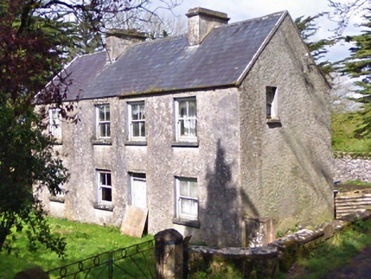 farm housefarm house · 1353 yd
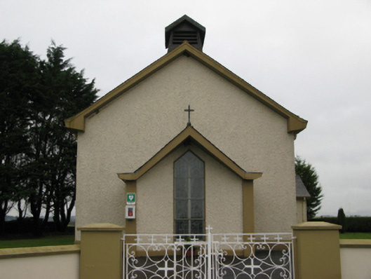 Saint Joseph's Catholic Churchchurch/chapel · 1424 yd
 Castle (in ruins)Castle, unclassified · 1570 yd
 Site of FortFairy fort / earthen ringfort · 1.1 mi
 European YewEuropean Yew · 3.1 mi
 Geoffrey's WoodForest · 5.1 mi
 Mass RockNamed rock · 6.9 mi
 Ross Errilly FriaryHeritage attraction · 10 mi
 Enclosure in CoolconEnclosure · 1.1 mi
 Enclosure in DavrosEnclosure · 1.4 mi