
What is recorded here
No. Of record: GA015-016001. The Site of Fort is a broken circular shadow in the grass, half buried under forgetfulness and half exposed to the sky. It is not a fortress of swords or fire, but a chamber for patience, where the border between counties and centuries becomes a thin line in the earth. The field wall cuts through its centre like a knife through a dream, yet the ring remains visible to anyone who stops moving and looks without wanting to own what they see.
Straddling the Mayo/Galway border, utilising a low natural rise in gently undulating pasture. Sheltered by a low elongated hillock c. 15m to S−SE. Views are good over an extensive sweep of undulating grassland. A hillfort (GA015-016----) crowns a ridge on the far horizon to NE.
A slightly raised circular area (26.7m N−S; c. 25m E−W) defined on its perimeter on the N half by a broadly slumped slope (H 1.4m; Wth slope 4-5m), and on the S half by a scarp topped with traces of a wall/stone bank (Wth c. 2m). A broad gap or terrace (Wth 4.3m at N, 5.8m at S) separates this central raised area from an outer enclosing bank/wall, evident on the N half as a low sod-covered stony bank (Wth 3.5m; int. H 0.15m; ext. H 0.5m) and on the S half as a scarp (ext. H 1m) with a low stony lip (Wth c. 3m) in parts. The diameter of the outer ring is c. 45m.
A field wall (the county boundary) crosses the ringfort centrally on an ENE−WSW axis, and another field wall extends to SW from this through the S half. Slight remains of other walls radiate from the inner ring across the terrace to the outer ring on the S half of the ringfort. These internal divisions may be related to relatively recent modification of the site as a rectangular vernacular building -probably a late 19th-century house- is shown abutting the outer NE edge of the ringfort on the 25-inch plan (it is not shown on the 1838 or 1915 OS 6-inch maps). A remnant of this building is incorporated into a present day NE−SW field wall. Relict cultivation ridges are discernible in the field immediately to SE of the ringfort.
Long grass and thistles obscured much detail and hampered inspection of the ringfort.
Compiled by: Jane O’Shaughnessy
Date of upload: 10 August 2023
The monument record does not grant public access. Check the route and ask the landowner before entering private land.
- What survives
- Recorded monument
Places near here
 RathbaunArchaeological place · 709 yd
 Enclosure in BlindwellEnclosure · 1577 yd
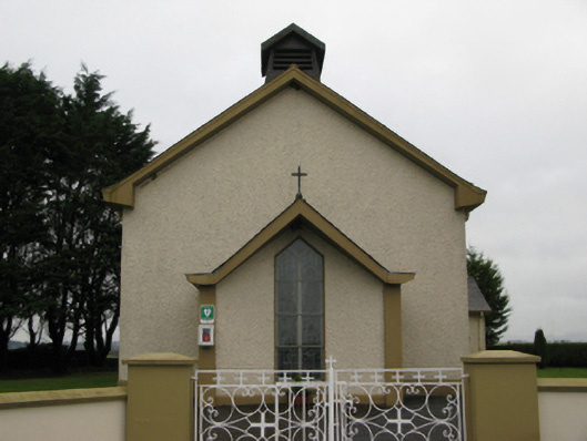 Saint Joseph's Catholic Churchchurch/chapel · 1753 yd
 Bawn in BlindwellBawn · 1.4 mi
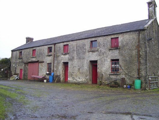 Blindwell Housefarmyard complex · 1.4 mi
 Castle (in ruins)Castle, unclassified · 1.7 mi
 European YewEuropean Yew · 3.1 mi
 Pesooge PlantationForest · 5.5 mi
 Mass RockNamed rock · 5.9 mi
 Ross Errilly FriaryHeritage attraction · 10 mi
 Inis Mhic an TrírIsland · 12 mi
 Otter IslandIslet · 13 mi
Other information
Photo: Credit not shown in the picture search · Rights wording not checked; contact us if this picture should be removed